Yes, pretty much. IMHO, this area should be avoided since it’s pretty build up. Instead I would recommend to go around on the east through the “Löwensteiner Berge” (as described here).
Actually this behavior existed from the beginning . I think it just wasn’t as visible before. Before, the green areas of the forest were stronger than the residential areas, so it was easy to miss.
The only option we have right now would be to reduce the visibility of the residential areas again . I was actually playing around quite a bit with the map style in this area because I find the change a bit harsh.
In general I find these simplified / summarized residential areas quite handy. They show areas where I wouldn’t want to go with a motorcycle, because there is too much traffic.
Yes and to be honest, I don’t know how the algorithm works in detail, but I guess that if a certain density is reached, a big area is formed. But unfortunately it’s not easily possible to change this behavior.
Hi from France/Spain,
found 1 issue:
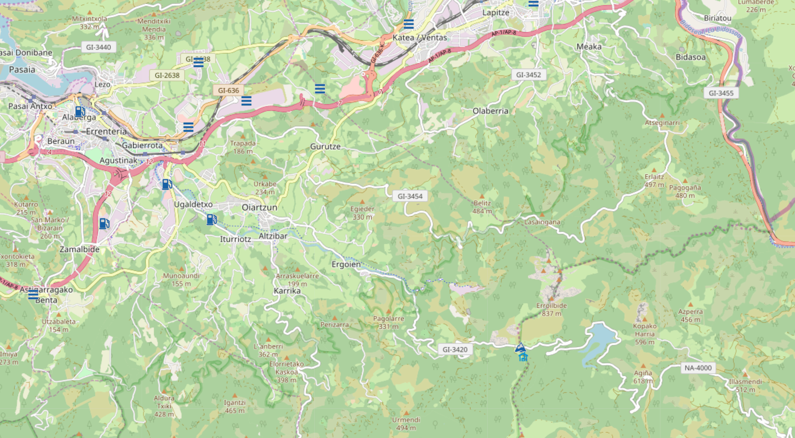
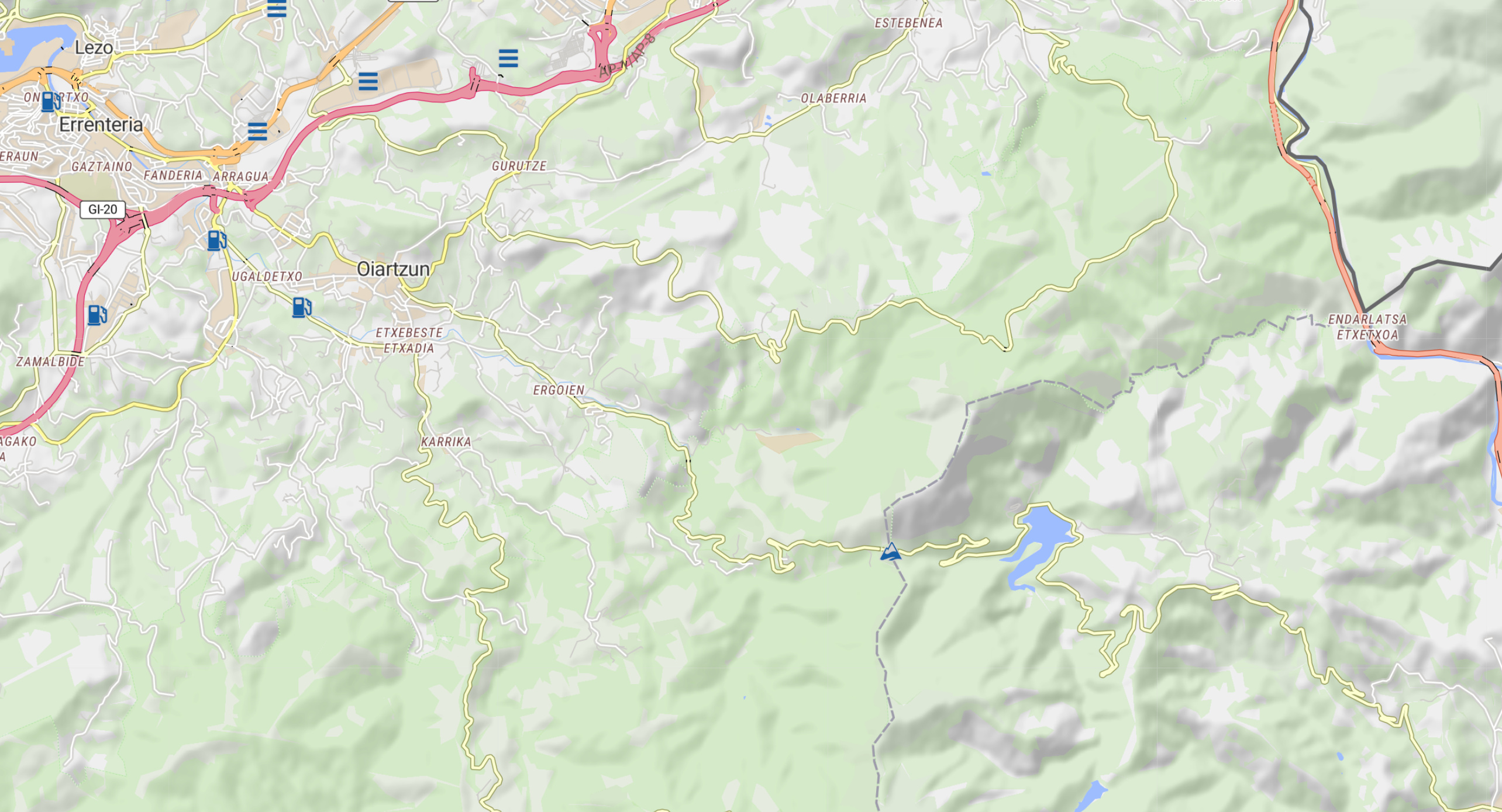
There are almost no road numbers at any scale, only for Highways, eg. ex San Sebastian to the East GL-3420 or NA-4000. Compare OSM and Liberty, as following:
Initially in my mind i was fixed to the idea the residential areas should be scaled to the map scale. But your argument can be understood and be accepted.
Here i full agree with linux-user. No change necessary. Thanks for your effort.
Thanks for finding this. It seems to happen less frequently in France, but in Spain I can see this happen quite often. I could identify the issue and apply a fix. It should work correctly now. But, the road signs appear a bit late, so you might need to zoom in a bit more.
Yep, its working now, but I have to go down as far as 300m to see them.
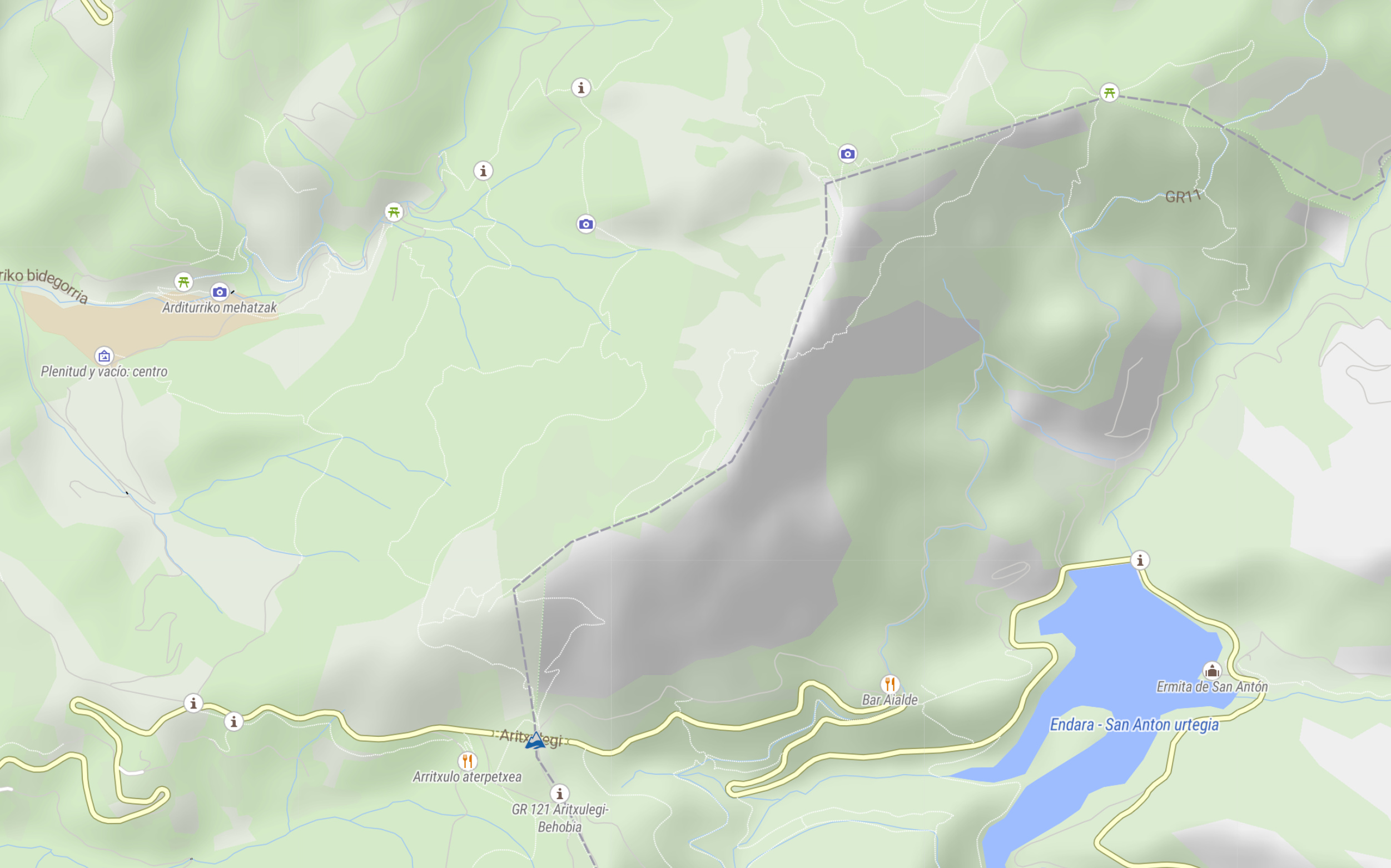
But what about all these non selectable POIs? I could understand that the would be suppressed for de-cluttering reasons, but since they are there, they should be selectable?!
RGDS
hk
Yes, they appear a bit late. I put it on the list of things to review.
The Kurviger Liberty style is not as flexible as the style of the app. It uses a different technology that makes selecting these POIs more complicated. Most other styles on the Kurviger website include POIs as well. Some have less or no POIs at all. Sorry that’s not easily changeable .
Die Hügelbezeichnungen habe ich gerade hinzugefügt. Es kann sein, dass die bei dem ein oder anderen noch kurz brauchen bis sie auftauchen, aber das sollte spätestens über die nächsten Tage bei allen auftauchen.
Kurviger Liberty is now around for quite a bit of time and for me it has become my default map layer when planning a route. The infrastructure behind Kurviger Liberty has been massively improved over the last weeks. So the layer should be very stable and perform reasonably well.
So my thought was to change the default map style from Esri Streets to Kurviger Liberty. What do you think? Do you see issues with Kurviger Liberty or is it working fine? Do you prefer Esri Streets or Kurviger Liberty for your planning activities?
I know Esri Streets has some benefits as well and I still like that style. This certainly doesn’t mean that Esri Streets would be removed from Kurviger, just that it’s not the default anymore.
Esri streets is always soooo far off from the blue line it makes kurviger.de look really unprofessional. My personal favorite is still OSM but liberty is MUCH better than Esri
What’s the default map style used by the offline maps?
Background of my questions in this context
Which map used by the website is most similar to the maps used by the app?
This could be an argument to decide, which map should be the defaut map in the website, to give specially new users most similar design when copying routes from website to app.
I just had a look: For ME it seems that indeed Kurviger Liberty is just similar to Mapillion, more than Esri - but still not completely!