Yes, Kurviger Liberty was designed to be somewhat similar to the Kurviger Map Style of the Kurviger App. 100% equality is not possible though.
Danke für den Hinweis, ich vermute du hast ein hochauflösendes Display (im Bereich 4k)? Da experimentieren wir gerade noch mit der Technologie. Kurviger Liberty berechnet da gerade hochauflösende Karten, die deutlich langsamer laden, das wird aber vermutlich deaktiviert, da das einfach viel zu langsam ist. Die anderen Karten machen das übrigens auch nicht, das wäre quasi ein Bonus-Feature von Liberty.
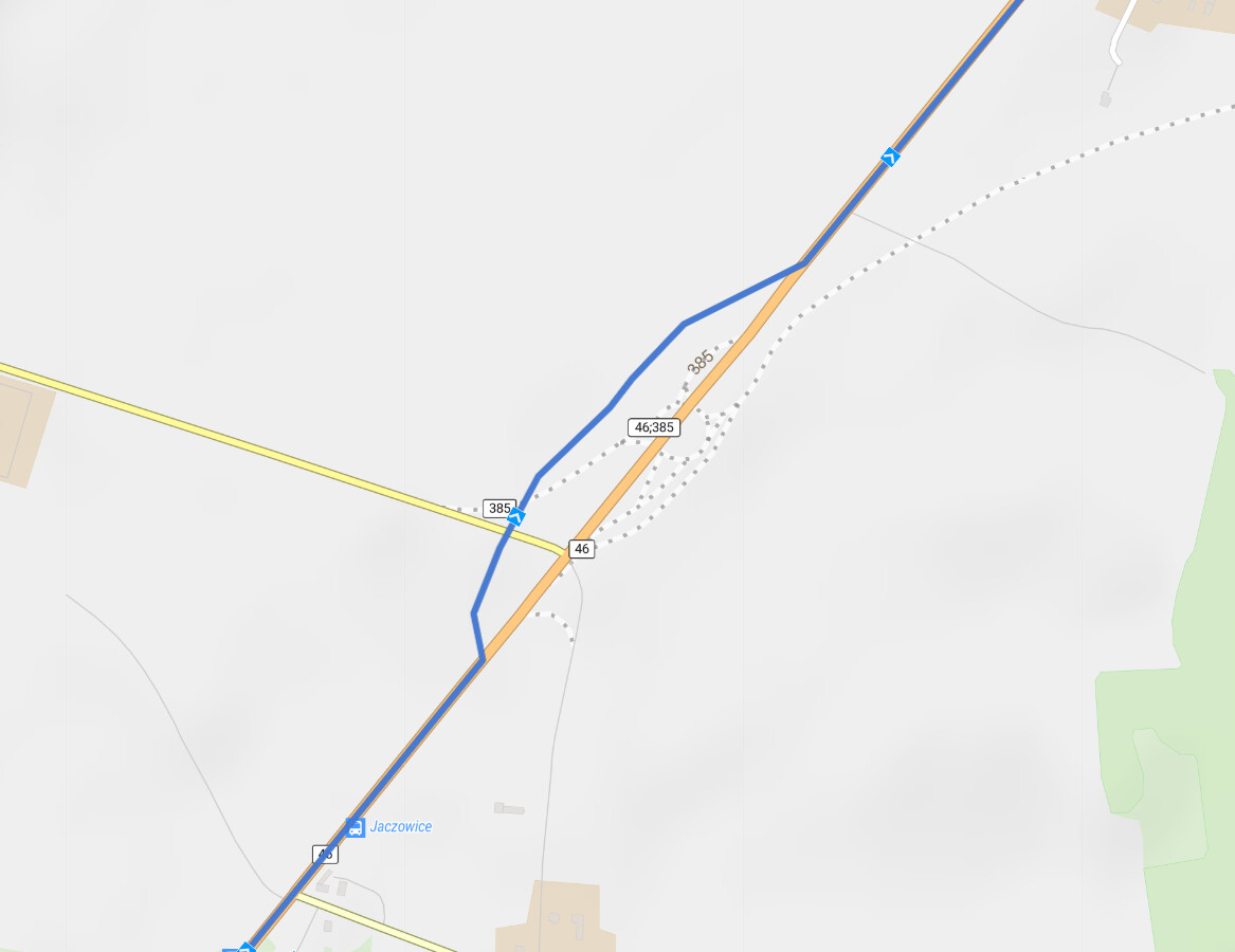
For my ride profile, Kurviger Liberty is only partly useful. I like to ride on small roads (tertiary / unclassified).
Kurviger Liberty shows them on 2 km / 1 km zoom level which is too high to have an overview.
Therefore I use Esri Streets which shows these roads even on 10 km zoom level.
When planning the details, I often switch to Kurviger Liberty later because Esri doesn’t show the residential areas, restaurants and so on.
I would like Kurviger Liberty if it would show tertiary and unclassified roads at least on a 5 km zoom level. 10 km would be even better.
I fully agree, this is my main complain with Kurviger Liberty as well. Unfortunately, there are technical limitations that are not that easily changed. However, this is on my todo list and I hope that this can be improved in the future.
That said, Esri Streets is still available and everyone can use it . I tend to switch between the different layers quite a bit.
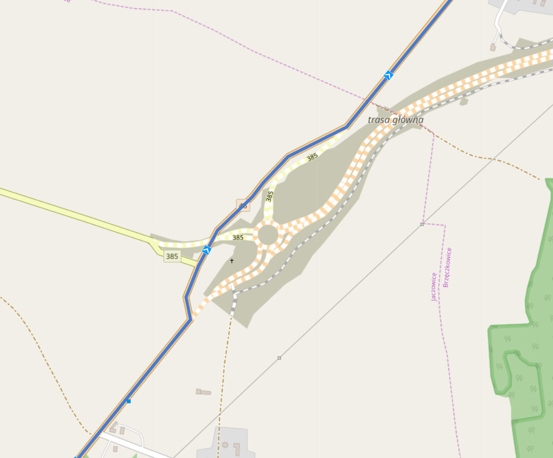
Now I tested with Kurviger Liberty some wellknown areas near my home, in france and italy. Additionally I compared with Esri streets and OpenTopoMap.
In my prefered scale (5 km in the hardcopies above) at some areas now even more easy to use roads are visible than in Esri streets!
That’s really a big improvement of Kurviger Liberty . Thanks a lot!
Compared to Esri streets and OpenTopoMap at an other prefered scale (10 km in the hardcopies above) there are still some gaps . There is still room to improve . Nevertheless a big Thank you!
How often do you re-render the Kurviger Liberty map?
I have just noticed that the Forschungsallee in Augsburg Augsburg | Kurviger is still displayed as “under construction” but in OSM (and in reality), this has changed nearly 2 months ago.
 .
. . There is still room to improve
  . Nevertheless a big Thank you!