Furthermore on the top of the screen there is a free space which maybe should simulate the horizon, but it is wasted space in my point of view, because the driven route is cropped there. Why not let the actual route last to the rim of the screen. Actually this space is hidden by the navigation bars with big font size in my screenshot, but when the font size is smaller this lost space is even more unnecessary.
Strange Routing 1 is obvious:
There is maxspeed=30 on the main road, and no speed limit on the residential.
So probably missing or false data in OSM. To change this you would need local knowledge.
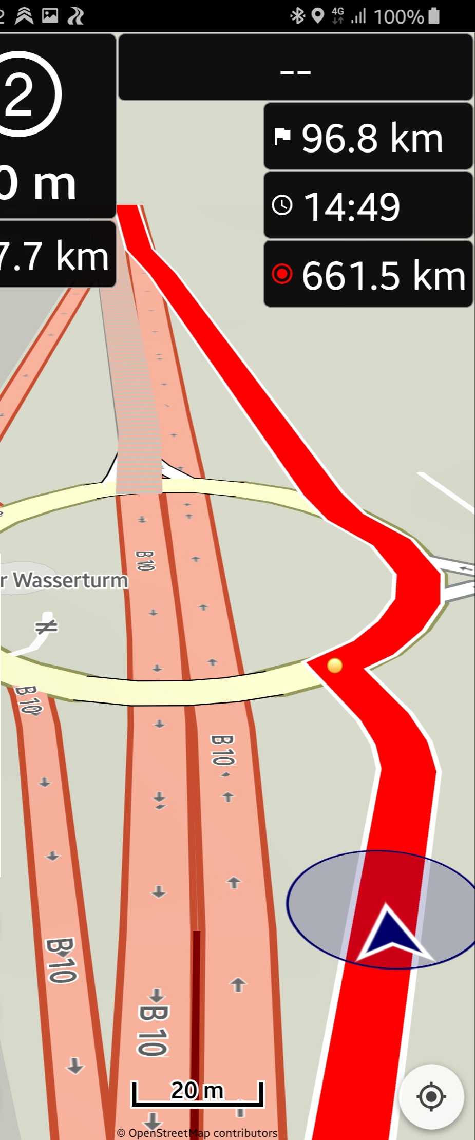
Strange Route 2.:
There is a speed limit of 90 on the main road, and again no speed limit on the side road.
Yes, probably wrong data in OSM maps. This seems to happen quite often. I would prefer to handle such things in the calculation.
What about a new general setting for all route options (quick, curvy, very curvy…) except the one where main roads are avoided in order to stay on the mainroad in such situations? Let the user decide in Meters/Yards or Kilometer/Miles (steps from 100 meters till 2000 meters for example) with a slide control to avoid detours from the main road by ignoring speed information from OSM maps.