Deutsche Übersetzung weiter unten.
Hi,
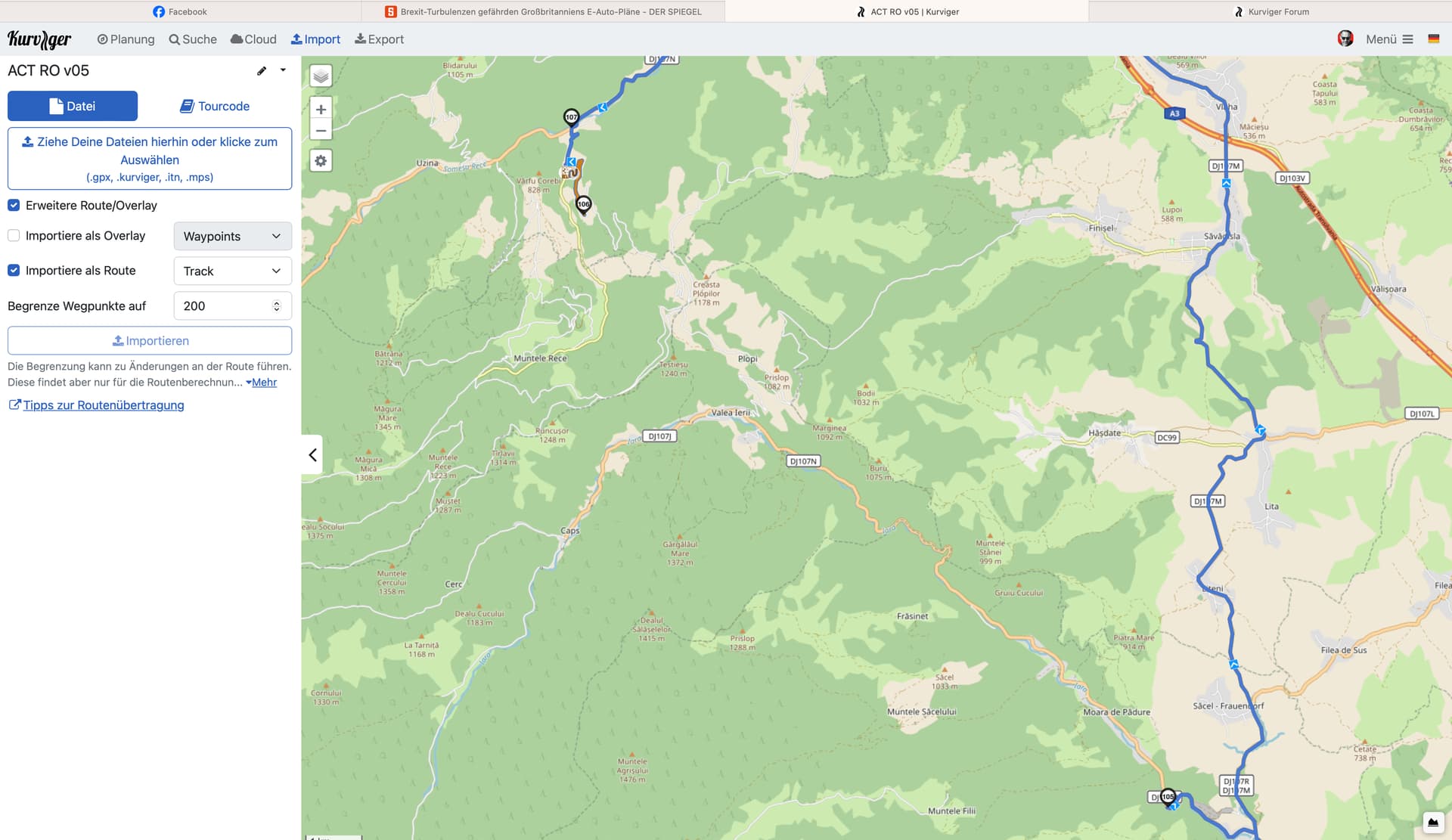
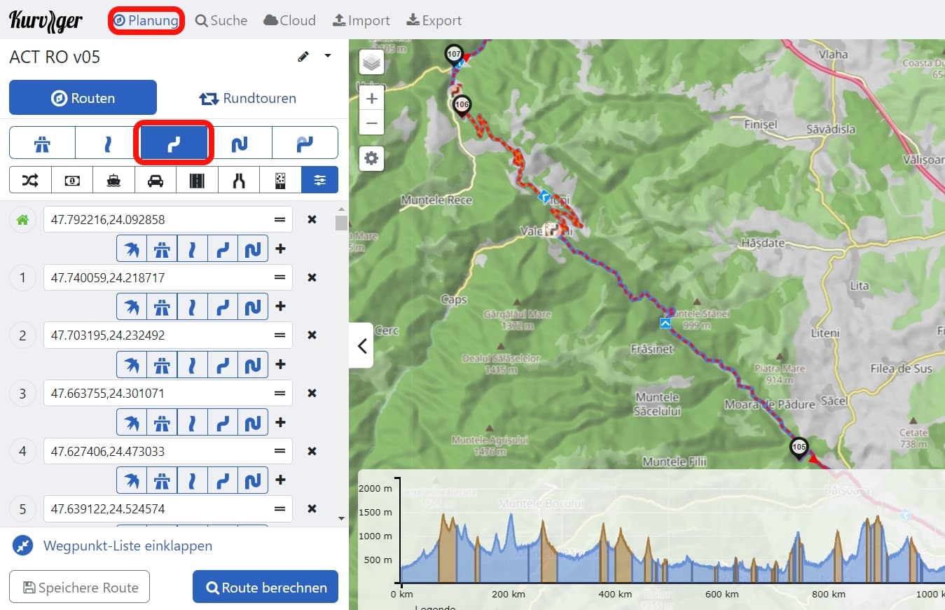
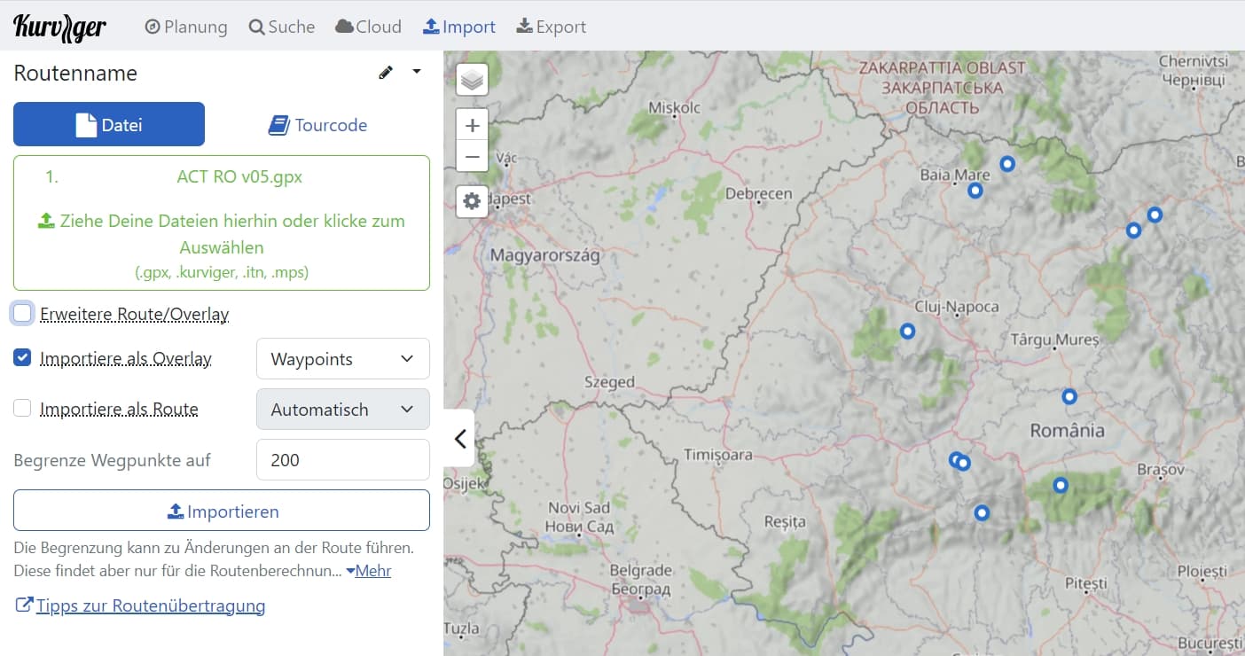
I have uploaded a gpx TRACK from Adventure Country Tracks. Import as a track, with OSM maps. Unfortunately it does not show the original track, but calculates a route.
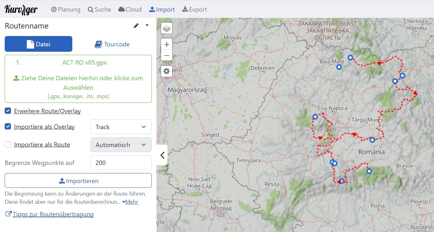
See picture. Correct would be a direct connection of 105 and 106 via the small roads, which are also shown in the ÓSM map. Instead Kurviger leads me over a new route further north.
The gpx file is fine, as this error does not occur with OSMAND or Guru Maps. However, I want to plan with Kurviger as I find the program better. Can someone help me to solve that problem.
Hi,
ich habe einen gpx TRACK von Adventure Country Tracks hochgeladen. Import als Track, mit OSM Karten. Leider zeigt er nicht den originalen Track an, sondern berechnet eine Route.
Siehe Bild. Richtig wäre eine direkte Verbindung von 105 und 106 über die kleinen Strassen, die auch in der ÓSM Karte angezeigt werden. Stattdessen führt Kurviger mich über eine neue Route weiter nördlich.
Die gpx Datei ist in Ordnung, da dieser Fehler bei OSMAND oder Guru Maps nicht auftritt. Jedoch möchte ich mit Kurviger planen, da ich das Programm besser finde. Kann mir jemand helfen, dass Problem zu lösen.