I am happy to let you know that a long awaited feature has been added to the Kurviger website today.
It is now possible to connect segments of your route with a straight line (beeline). With this feature you can plan off-road or ignore road closures. This feature can be particularly helpful if a road is currently closed due to a construction site or due to other temporary reasons, but you are already planning a tour for the next season.
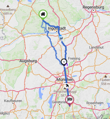
With this feature you can also route across continent borders, so you don’t have to split your route anymore.
For segments that are planned with the straight line feature, we can’t calculate travel times, so we assume 0 seconds on these segments. For the distance we use the beeline distance.
Please let us know what you think about this feature or if you have any questions or feedback.
Ich freue mich euch ein Update zu einem lang erwarteten Feature zu geben.
Es ist ab heute möglich Abschnitte deiner Route als direkte Verbindungslinie (Luftlinie) zu planen. Diese Funktion erlaubt es Teile der Route abseits von Straßen zu planen oder Sperrungen zu umgehen. Das kann besonders hilfreich beim temporären Sperrungen sein wie z.B. Baustellen, du aber bereits die Route für die nächste Saison planen möchtest.
Zusätzlich erlaubt diese Funktion auch die Routenberechnung über Kontinent-Grenzen hinweg. Dadurch musst du deine Route nicht mehr zerteilen.
Für Abschnitte die als direkte Verbindungslinie (Luftlinie) geplant werden kann keine Fahrzeit berechnet werden, daher nehmen wir für die Fahrzeit 0 Sekunden an. Die Distanz wird entlang der Luftlinie berechnet.
Lasst uns wissen was ihr von der neuen Funktion haltet und ob ihr Fragen oder Feedback habt.
Coool, immediately tried and it seems to work. Great job, well done!!!
I just recently had that issue usually through a map base material error. Because of some meters of no or wrong routing definition in map, “kurviger” never build up the planned road just by a huge redirection.
Someone wanna try? - here we go:
You see the former kurviger redirection (caused by map routing issues) to reach the 2nd point.
Now: Just click on the bird button to switch the issue of the routing process - Great
Blockquote
“… For segments that are planned with the straight line feature, we can’t calculate travel times, so we assume 0 seconds on these segments. For the distance we use the beeline distance…”
Why? - I mean I understand that a straight line never displays the correct timing but since you already calculate the length and add it to to total length of the route I would recommend to add at least the time what you need before or after the line - as long the line is part of a routing (for sure no stand alone) In this case I would calculate with the given previous or the after routing point available speed limit (always the lowest).
My estimation is that this feature is only used if the normal routing cannot be used in any cases. So the user always tries to minimize airline connections. Therefore I would consider my proposal (at least as an option). Cheers Dirk
Thanks for sharing this example, I just fixed the map, so this should work as expected even without the straight line feature in a few days
The thing is, there are only wrong answers, even for the distance, but the ETA can be really anything. We give users the beeline distance and users can calculate their estimated speed on top of it. That way it’s at least a simple addition.
That said, nothing is set in stone, this is a first version and it is always possible to improve it based on everyones feedback
…well, you asked for feedback and so I did…I would prefer it in that way…
How ever timing is not really in a strong focus and can be estimated only in advance.
Too many variables have influence on the timing of the route.
But in general. Solving the connection issue with airlines is a milestone again and as you said it’s a long missed feature. Reasons to use this lines are various.
I missed it quite often when there were some technical issues in the map (i.e. the mentioned example , which you killed now ) in France - About the continent issue (your Belarus vs Russia example), I wasn’t even aware about - I don’t cross continents by road that often.
Genial und gerne genutzt, keine Frage, aber wäre es mir lieber, wenn Ihr irgendwann mal Kurviger.de nicht mehr abhängig von der Telefonverbindung - sondern stattdessen vom GPS-Satelliten macht, das wäre mal der ‘Kracher’ ( so wie das bereits jedes Navi macht ), da warte ich bereits seit Jahren drauf…