Kann man die Darstellung der Straßen verändern? Etwa deren Farbe oder Dicke?
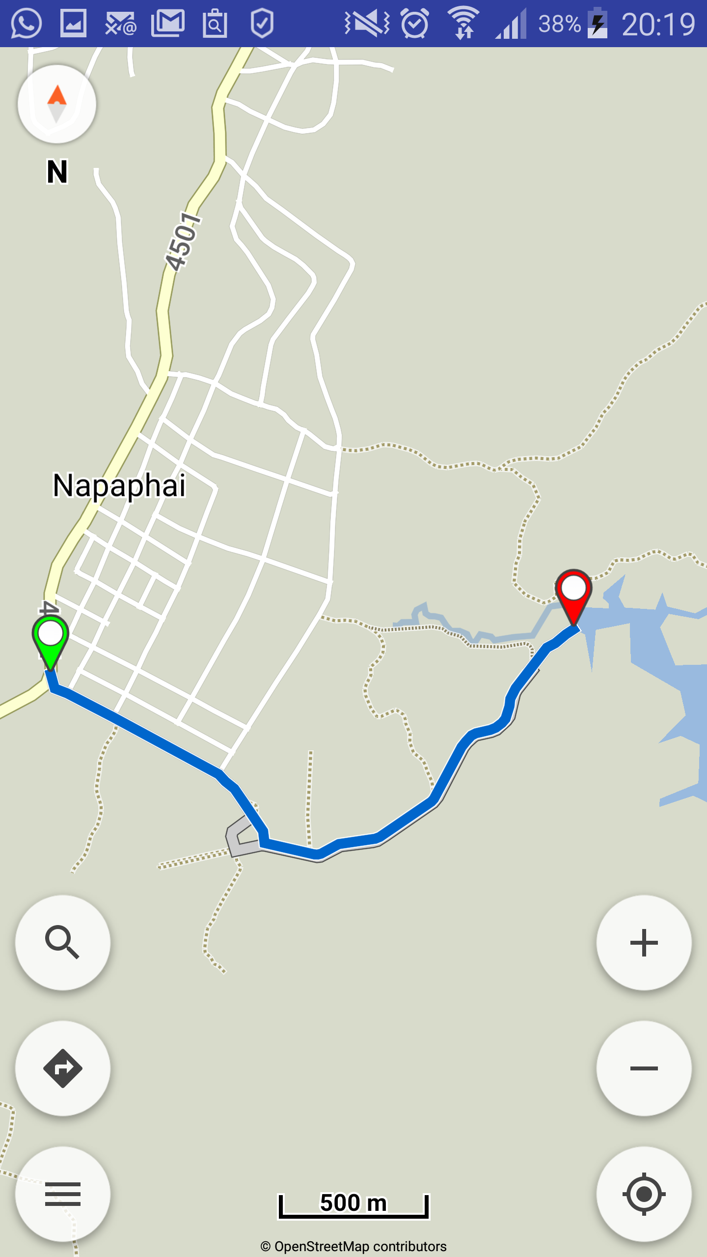
Ich komme darauf, weil ich gestern eine offroad-Strecke gefahren bin, die auf der map nur sehr schwer zu sehen ist:
(offline-map Laos)
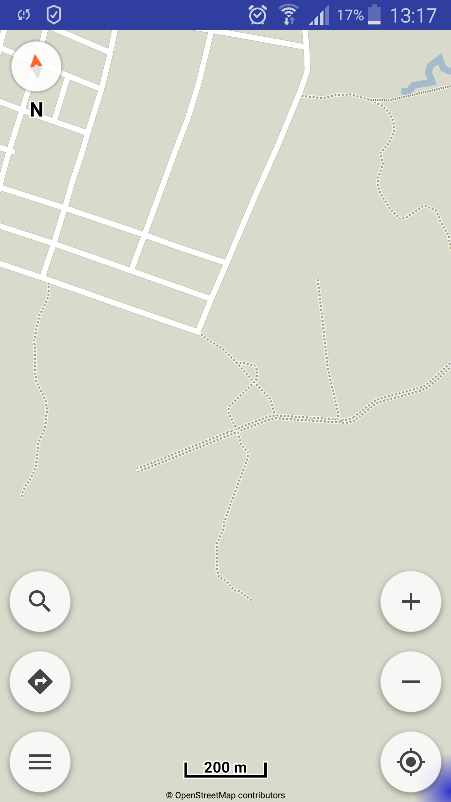
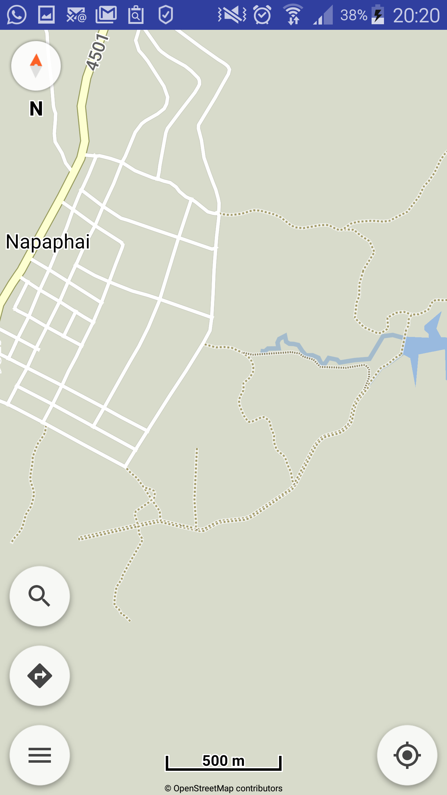
Unter den weißen Strassen sind gepunktete Linien zu sehen. Mit einer kleinen Enduro super zu fahren, aber nur schlecht zu entdecken. Schon beim zoomfaktor 1 km sind sie nicht mehr zu sehen.
Kann man diese “Wege” deutlicher darstellen?
Is it possible to change the representation of the streets? For example their colour or thickness?
I come to this conclusion because yesterday I drove an off-road track that is very difficult to see on the map:
Screenshot
Under the white streets you can see dotted lines. With a small enduro it is easy to drive, but difficult to discover. Already with the zoom factor 1 km they are not to be seen any more.
Is it possible to show these “paths” more clearly?