Hi Kurviger Team
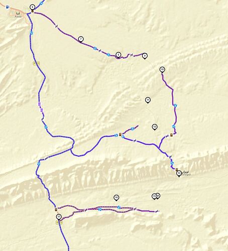
I am planning trip to Morocco and I encounter the following problem. Routing from Assa over Touizgui to Zag. This cities are connected with route P1308 on several maps. I can see the street on ESRI Maps but Kurviger makes a huge detour. Can you please verify, where the mistake is?
Can you please share the Kurviger short link - could be that the avoidance setting is the reason for this and we see this only in the short link.
Hi Guenther
thanks for your reply.
Above you have the link to this track
kr
Marco
Hi Marco,
looks like the roads are yet not stored in OSM (Open Street Maps), therefore Kurviger cannot use them for navigation planning. What I definitely see that there is no avoidance setting that blocks a proper route planning.
In such case there are two options:
- you register into OSM and create the streets there to make them available for each device that is based on OSM
- you use the beeline function in Kurviger during planning - facing the risk to get stuck somewhere in the nowhere

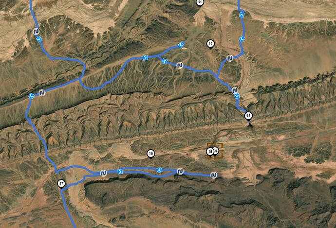
I also double checked the satellite view and honestly have a little doubt that there are really roads:
If you are looking for a navigation app for offroad I suggest you have a look at OSMAND or LOCUS maps - at least I have heard that they are quite good for offroad navigation.
Hallo Günther
Danke für Deine Mühe. Ich fahr einfach mal drauf los. Mit Wegpunkt Navigation.
Wenn ich durchkomme, werde ich mich bei OSM registrieren und den Track hochladen.
Sonst dreh ich einfach um ![]()
Gruss
Marco

