I would like the routing algorithm to skip these roads and/or display it (like offroad or closures) when they are on the road.
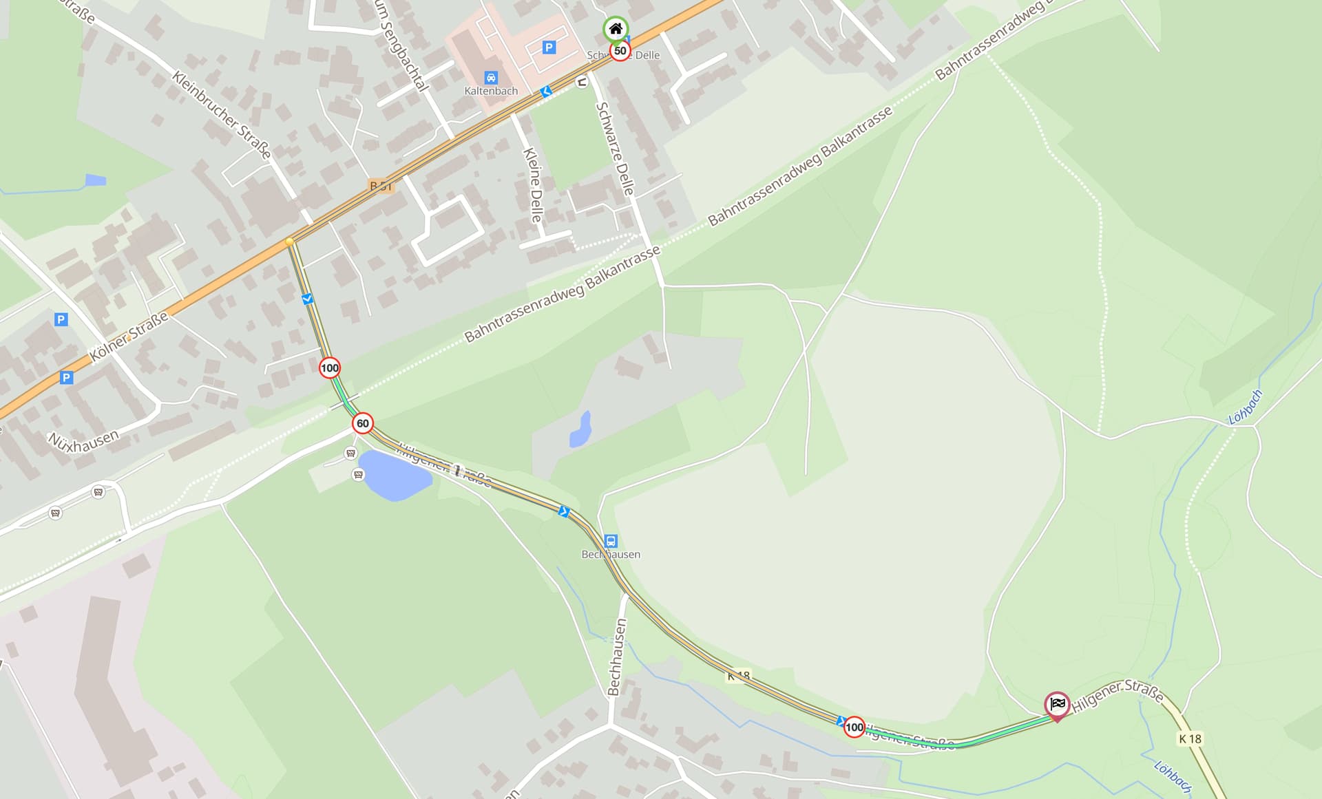
In OpenStreetMap these road segments seem to be tagged with maxspeed:motorcycle:forward. Maybe Kurviger can pick this up and route around it and/or display this info when the route uses a road with this tag?
I couldn’t open up a topic in the “New Feature Suggestion” category, so I posted here, my apologies.
I don’t know how well tagged these streets now are in OpenStreetMaps, but I’m sure a lot of Kurviger users would like to contribute to OSM for this .
Also, I went to Germany 2 weeks ago, and I encountered ~4 of these roads, so it’s not just 1 or 2 roads, they’re really “using” this new found power.
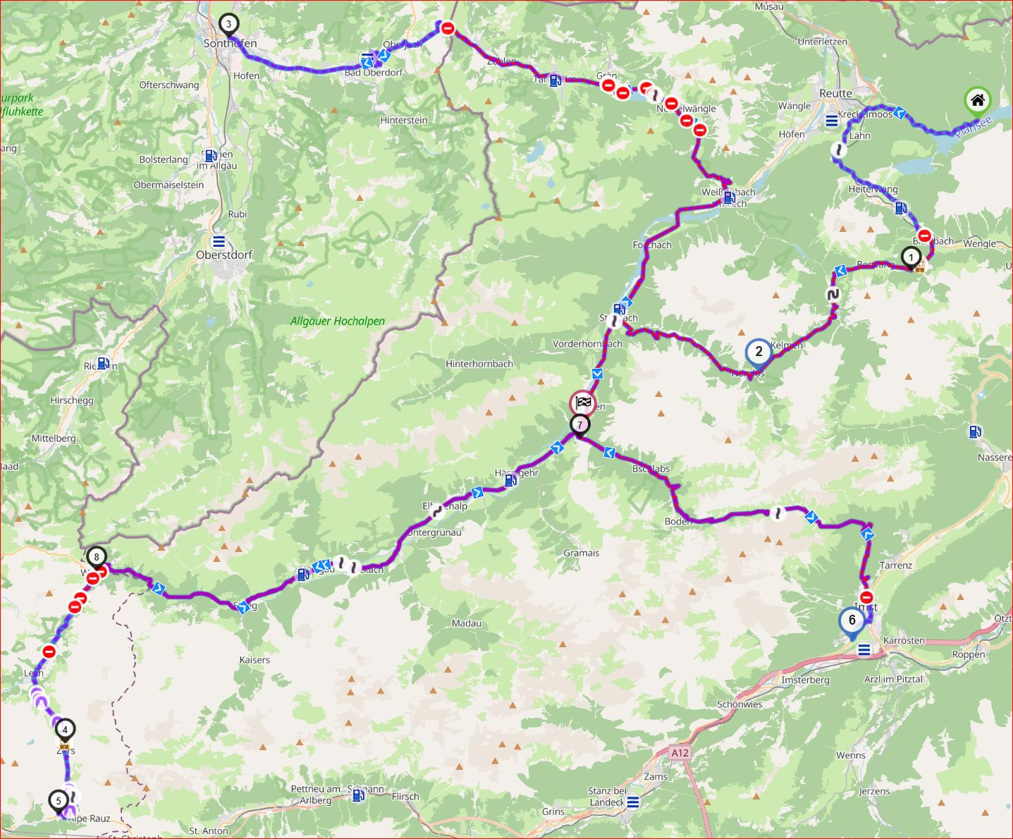
Austria has implemented several restrictions based on your vehicle’s official sound level, with a maximum of 95dB. This might also be a nice one to implement, but since I have a relatively quiet motorcycle I’m more concerned with the speed limits (which I consider to be dangerous due to the difference in speed with other traffic).
As mentioned by @Antonio.Gembrini 95db is shown on the map. Max speed is shown on the map as well, but we don’t have special highlights for roads with special motorcycle speed limits.