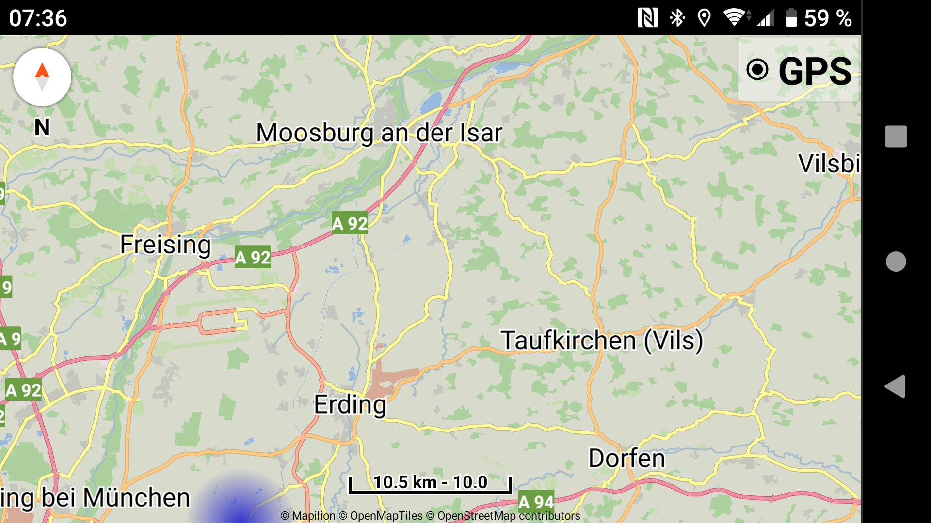
I live in a region with low population density, many long secondary roads. When I zoom out, the secondary roads disappear making route planning impossible. When I zoom in so secondary roads appear, it’s difficult to plan because I don’t see the big picture.
I notice that you use maps like mapilion, Stamen Terrain and OpenTopoMap, is there a way to specify which detail appears at different zoom levels?
Pat
That’s life, Pat. You can’t always win …
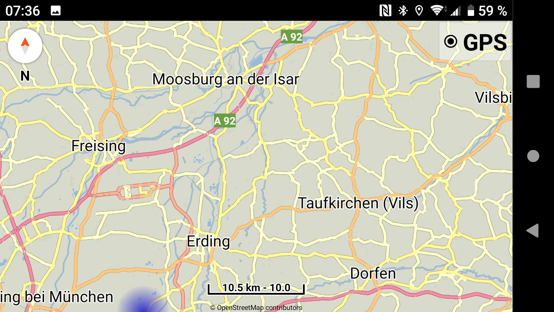
But - may be it helps to install and use offline maps - see the screenshot below at same zoom level:
Mapilion
offline
1 Like
Online map providers select the zoom level where they contain their layers.
For better map rendering please use the offline maps where we can have more control.
I’m thinking to allow users in the future to open external map styles,
so they can change the zoom levels / colors / symbols of the map.
1 Like