We couldn’t find a connection between at least 2 waypoints. Usually this happens if you activated an avoidance, please check your avoidances and waypoints. If you cannot find an issue, please let us know in our forum.
(Debug information, this helps us helping you, you can remove this if you don’t want to share this data, it should not contain any personal or sensitive information)
User Agent: Mozilla/5.0 (Windows NT 10.0; Win64; x64) AppleWebKit/537.36 (KHTML, like Gecko) Chrome/116.0.0.0 Safari/537.36
Cookies Enabled: true
Screen: 1280 x 720 px - 1dppx
Hi Markus
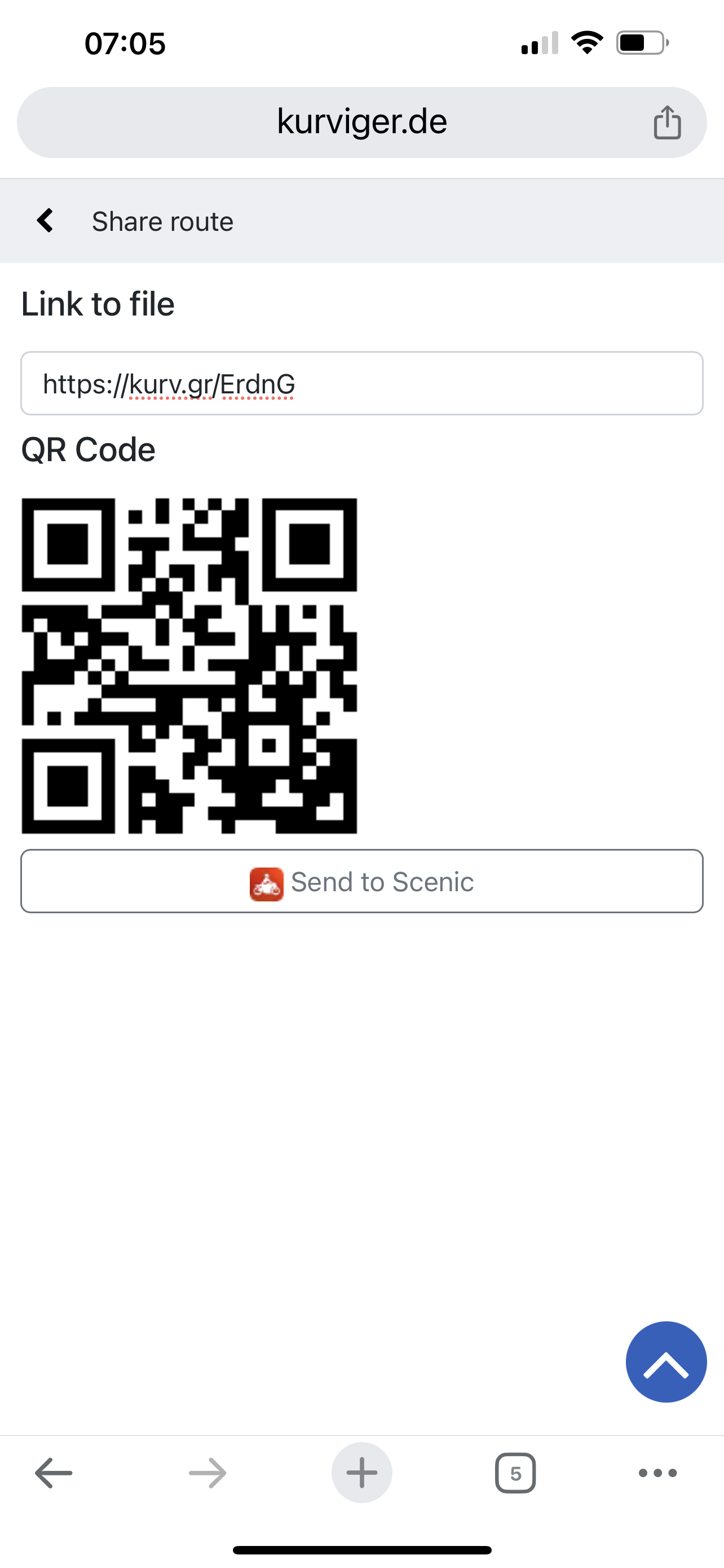
Hopefully the below helps. Will not let me route, off tolls, around Saintes.
Interestingly, I had similar trouble around Nantes.
Regards Richard.
Anyway back to topic: this route works fine for me (altough I would recommend using waaaay fewer shaping points so that Kurviger can do its thing). Can you please provice more concrete steps to reproduce the exact problem you had?
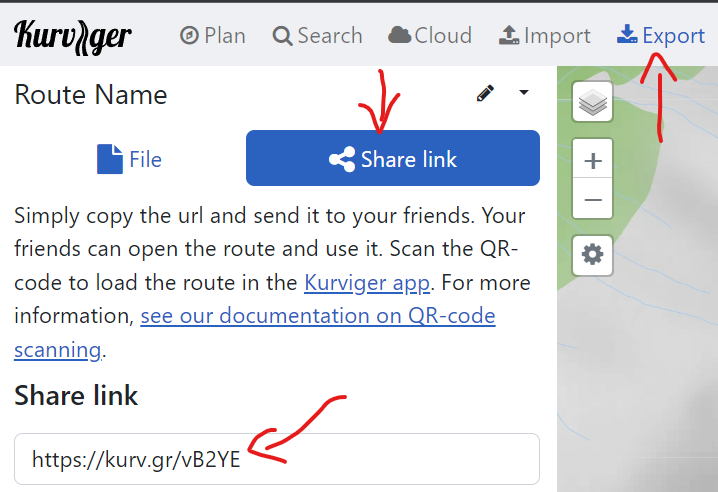
I fully agree, this mistake happens quite often, so I set up a link converter page for that: Convert download link
This leads to a route link Kurviger, the “wrong” routing happens between points 2 + 3, so I shortened the route (keep only points 2 + 3): Kurviger
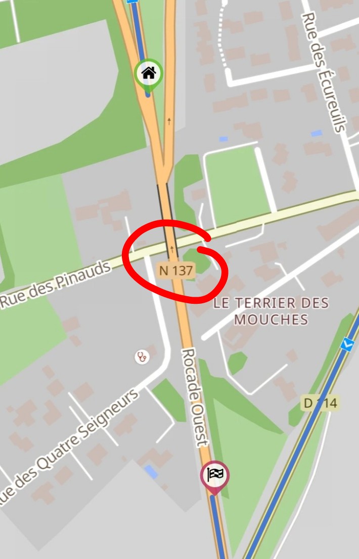
Problem is here: Kurviger
N137 bridge is tagged as one way:
I am quite sure that is a bug, so I removed the oneway tag in OSM Changeset: 141901753 | OpenStreetMap
In a few days (2-4 ?) Kurviger routing should improve.