[EN] Hello, I would like to upload the GPX track of a competition that allows transit through roads not normally accessible with special permissions.
Unfortunately, Kurviger alters my track by avoiding certain sections.
How can I “force” them to maintain the route? If it’s not possible, it would be an issue because the race takes me through specific points.
[DE] Hallo, ich möchte die GPX-Strecke eines Wettbewerbs hochladen, der mit speziellen Genehmigungen die Durchfahrt auf normalerweise nicht befahrbaren Straßen ermöglicht.
Leider ändert Kurviger meine Strecke, indem es bestimmte Abschnitte vermeidet.
Wie kann ich sie “erzwingen”, um die Route beizubehalten? Wenn das nicht möglich ist, wäre es ein Problem, weil das Rennen mich durch bestimmte Punkte führt.
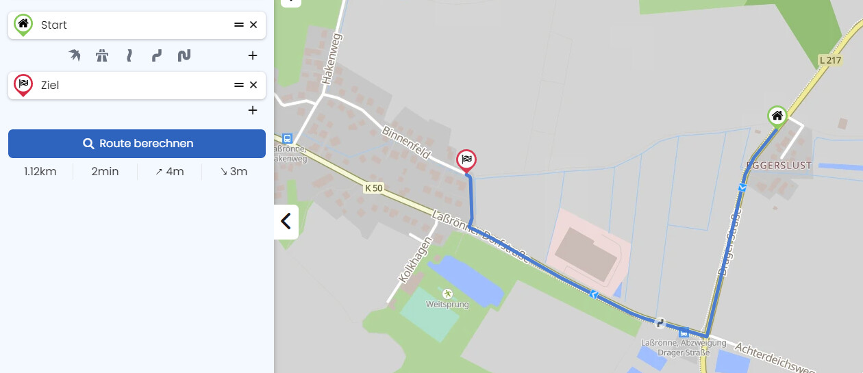
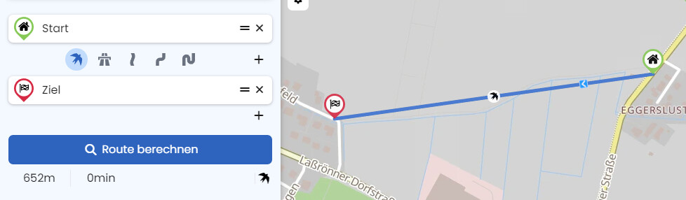
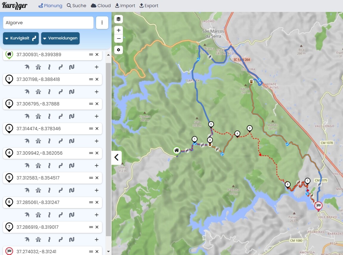
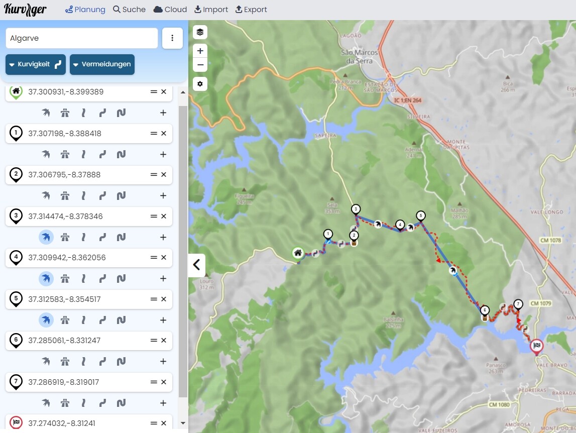
… see: https://kurv.gr/F89Qt
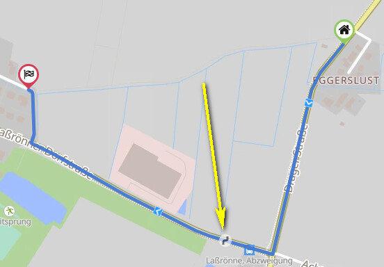
In navigation you have to “manually” follow the red-dotted-line in these 3 parts - therefore it’s necessary to overlay the route by the original track.