I have found Kurviger to be the only navigation application i can use to create detailed routes on both computer and android. The UI is very good and it just works.
But i have one issue that i would love to solve.
Sometimes my routes takes me a bit offroad or leads me into a walking path. All this is legal when this happens. But the app does not allow me to plot the route this way.
Is there something i can do in the app to allow the route to be drawn as i want it to be drawn?
Oskar,
Kurviger takes OSM (OpenStreetMap) as a basis for route calculation and if there the “path” is declared as not allowed for motor vehicles, for example, there is no route!
Now there are two possibilities:
adjust the OSM data and wait about two days until Kurviger has “inhaled” this adjustment or
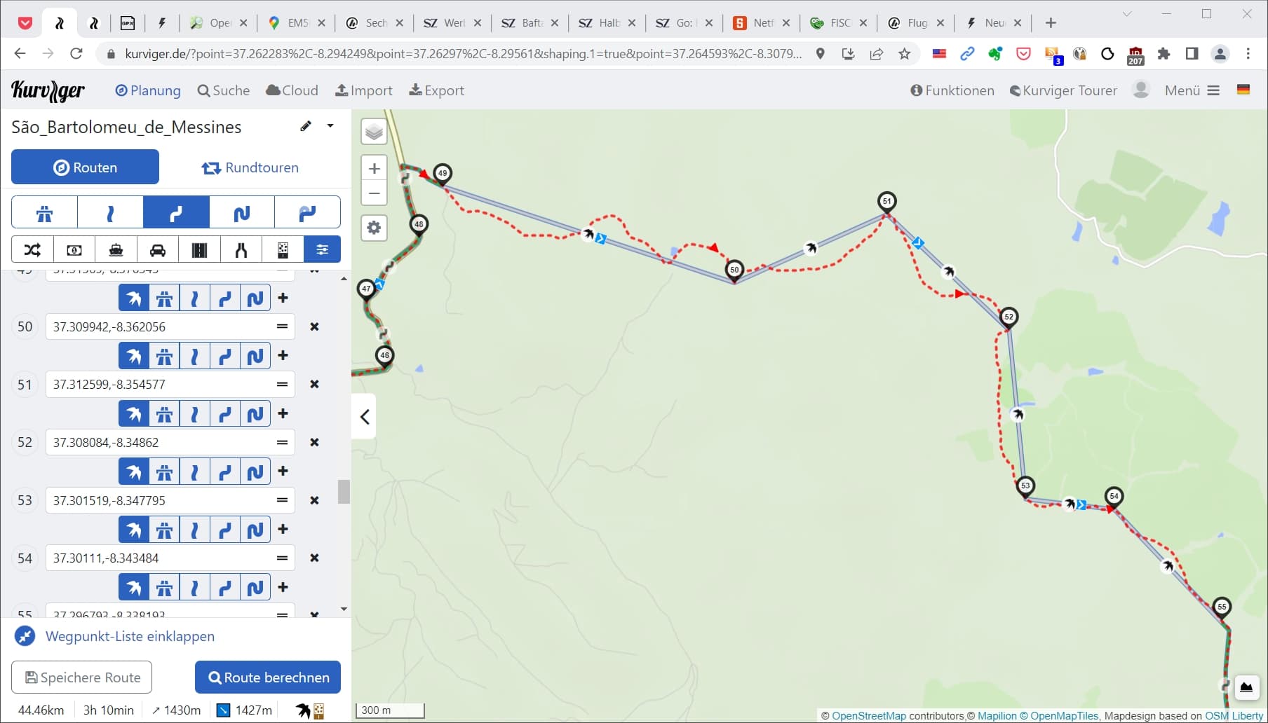
bridge the “forbidden” route by beeline routing:
To the first point: please only change OSM if this change also corresponds to reality - is sometimes only really possible after driving the route.
Here 6 sections of a graveltour in Portugal have been connected by beeline, because I got the tour from a mountainbiker and can’t judge from a distance if an OSM change would be correct.
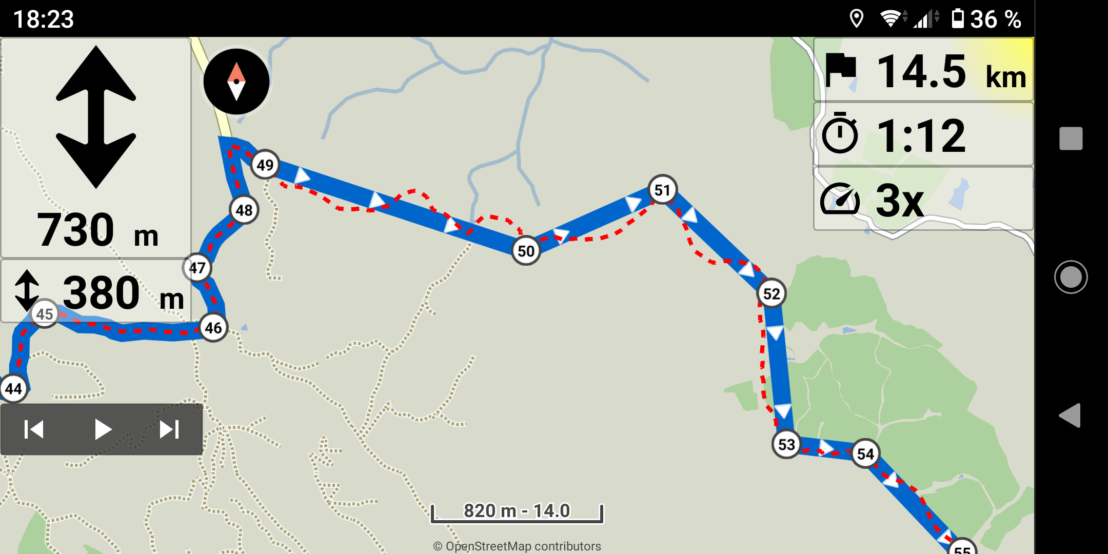
On the Navi (here an older version) it looks then like this: