Planning 8 day trip through Pyrenees with 8 guys. I have each day planned on separate Kurviger routes. How do I get them all on one map? I’ve tried to import each one but when I do it deletes the previous map (though the “plan” menu looks like it never stops processing…is that a problem or am I going about it the wrong way?
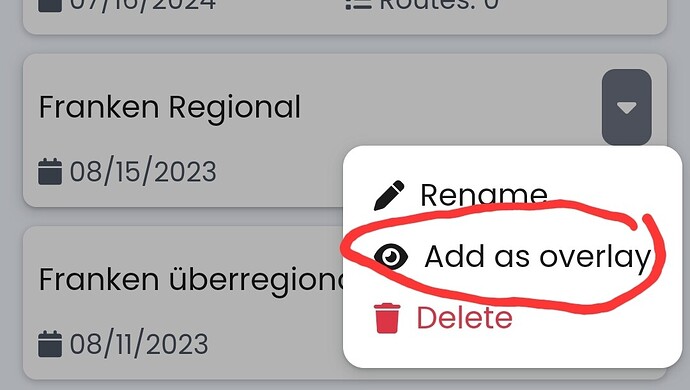
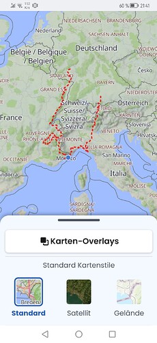
You could use the Overlays to visualize all 8 routes.
Otherwise, you could use “Extend current route” when loading (you would not be “importing” if they are already in Kurviger) if you wish to combine them in one and maybe chose different places to sleep over (after which, you would probably want to split them in separate days again).
If you need to visualize just a very rough overview, you could also enter just your sleep over places and connect them with a “sparrow” (straight) lines.
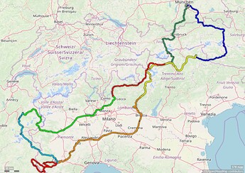
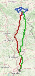
Your question I interpret as meaning that you want to visualize the 8-day tour. This is what I do with my tours. Export all daily routes as .gpx files, move these to the GPS track editor and take a screenshot. Here two examples:
Ich schlage vor, du testet den Overlay-Manager erst mal… denn die Farben können schon längere Zeit ausgewählt werden.
Ohja, die Farbe ist einstellbar. Sorry, mein Fehler.
