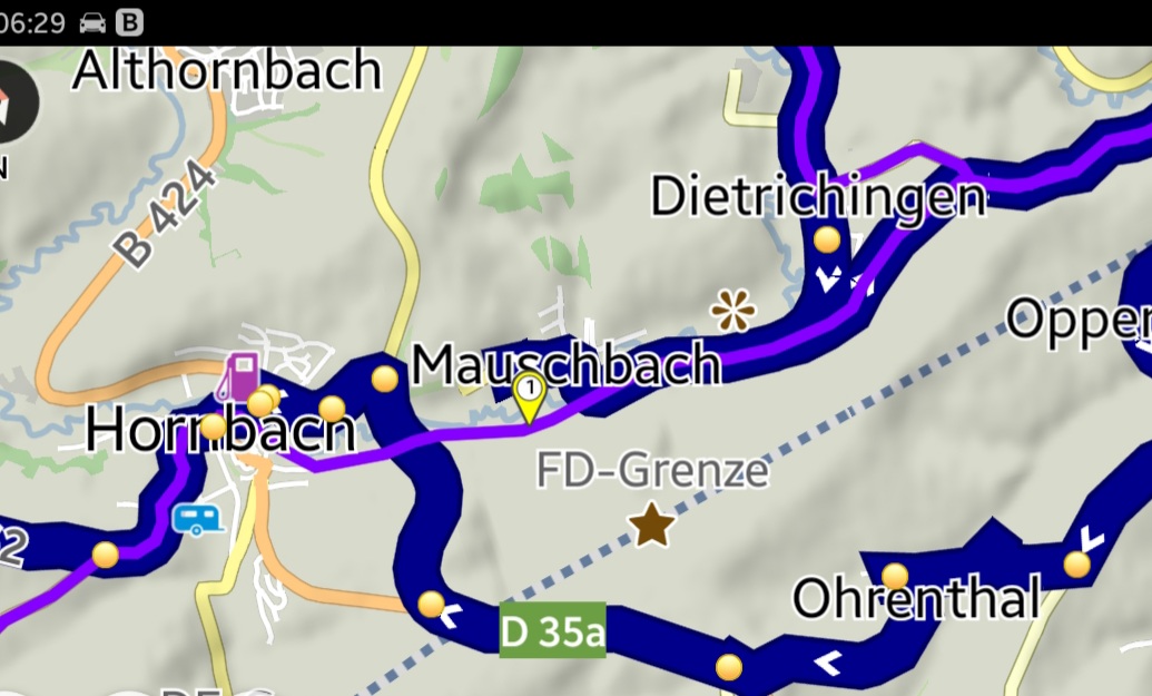
see wp1… Kurviger doesn’t want to use it, it guides over the french border via D35a instead of using the tiny unnamed road which is even not a gravel road but asphaltic.
Also sometimes Kurviger also rejects to use temporary stoppages, but it is not visually shown why this happens. Is it possible to show why Kurviger avoids a road temporarily, for example by symbol for road construction zone or Snow symbol for temporarily closed alpine passes?
Also if there is a forbidden transit and I know it is possible to use it with a motorbike, how can I force Kurviger to use that road anyway?
Kannst Du bitte mal das Stück als Route verlinken?
++++++++++++++++++++++++++++++++++++++++++++++++++++++++++++++++++++++++++++++
Can you please link the piece as a route?
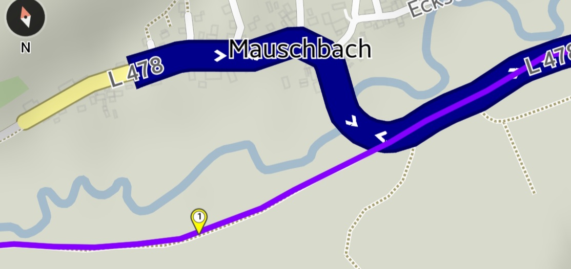
Das wird nichts werden https://kurv.gr/eUYqS Punkt 2(mein Punkt 2) ist als highway=track eingetragen, bedeutet ein Wirtschaftsweg , der u. a. hauptsächlich für die Land- oder Forstwirtschaft genutzt wird.
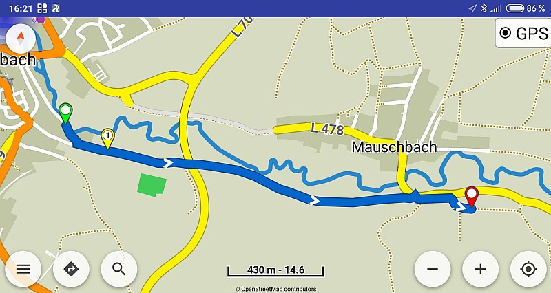
Du kannst es mit dem Brouter und dem Profil “enduro” versuchen App: Offline routing (BRouter). Oder Du fährst ohne Routing da lang.
+++++++++++++++++++++++++++++++++++++++++++++++++++++++++++++++++++++++++++++
That won’t work https://kurv.gr/eUYqS Point 2 (my point 2) is registered as highway=track, meaning a road, which is mainly used for agriculture or forestry.
You can try it with the Brouter and the profile “enduro” App: Offline routing (BRouter). Or you can go there without routing.
Was mich auf die Idee bringt kurviger als Fahrradnavi zutesten. Danke Wolf.
++++++++++++++++++++++++++++++++++++++++++++++++++++++++++++++++++++++++++++++
Which brings me to the idea more curvy than bicycle navigation systems. Thanks Wolf.
@Tom if you know this road and know that it is allowed to be accessed by motor_vehicles, then you can add access=yes in OSM. Looking at Mapillary, it seems like this is correctly tagged as track, but it’s hard to guess from the image: Mapillary cookie policy use