[EN] I think I have found an issue with the route calculated by Kurviger - or at least I am not too sure why this happens.
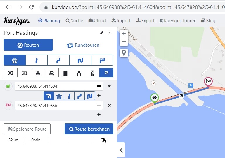
I am looking to go from (45.672843,-61.506958) to (45.691552,-61.371346), they are a few kilometers away, but Kurviger returns a 3600km long route as it refuses to go over a bridge.
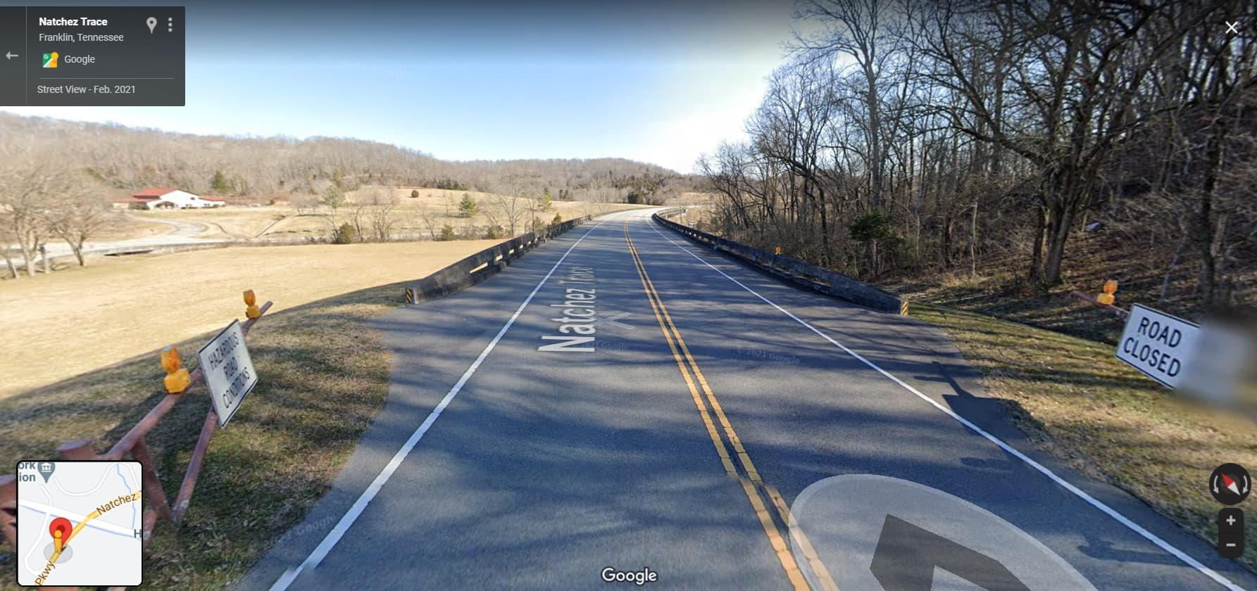
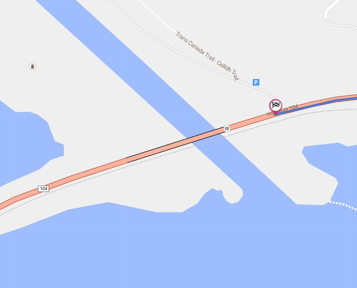
Zooming the map, I can see two subtle black lines surrounding the section that seems to trigger determine a loooonnng route. Any idea why this? And if there is a way to work-arounf this?
I tried other tools to trace the route, and there is no such issue.
Or any procedure to get it fixed?
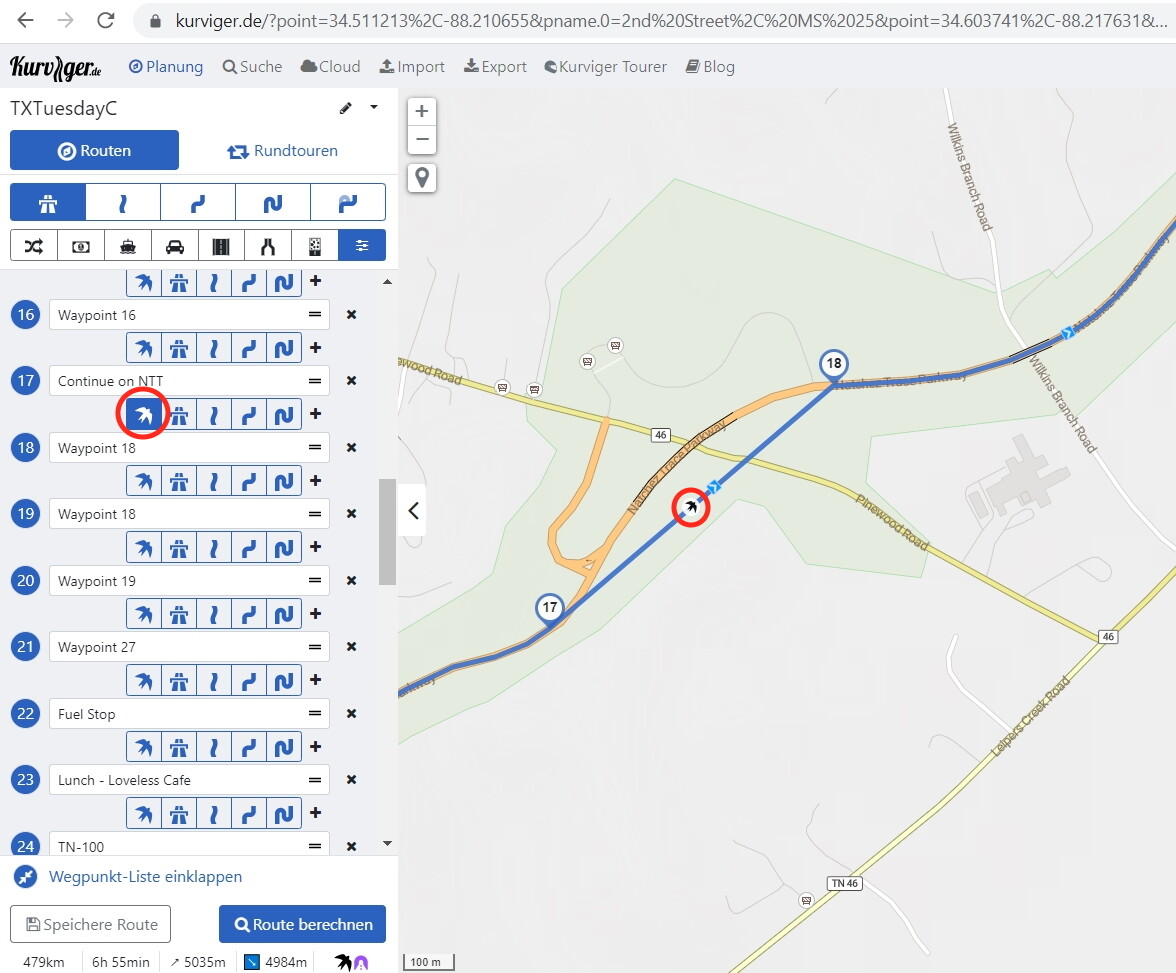
Using the picture from @zaphod_42: Beeline = route profile “Straight line” between waypoints 17 and 18: To select this route profile between WP17 and WP18 (marked with circles) you have to click the bird icon (marked with a circle). This route profile is only available for you when you have Tourer subscription.


 but I am looking to plan my summer !