When preparing a route from 36.19991,52.36351 to 36.4332,52.35954 (in fact the route is much longer but with this small section you see the problem) with Kurviger from the web makes me go back and go on an unwanted road, as if the route was blocked.
Using Google Maps makes me the route that interests me.
With gpsvisualizer I export the GM path to a gpx file that I import to Kurviger where the original track (red) and the path generated by Kurviger (blue) are seen.
I’ve been putting waypoints in between and it’s always going around me.
How can it be fixed?
Google Maps route:

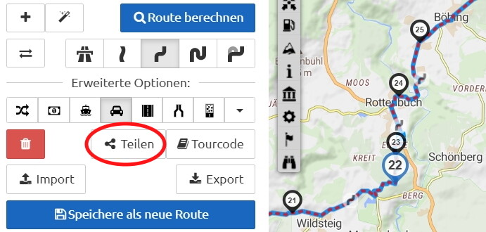
Kurviger route:

Thanks !