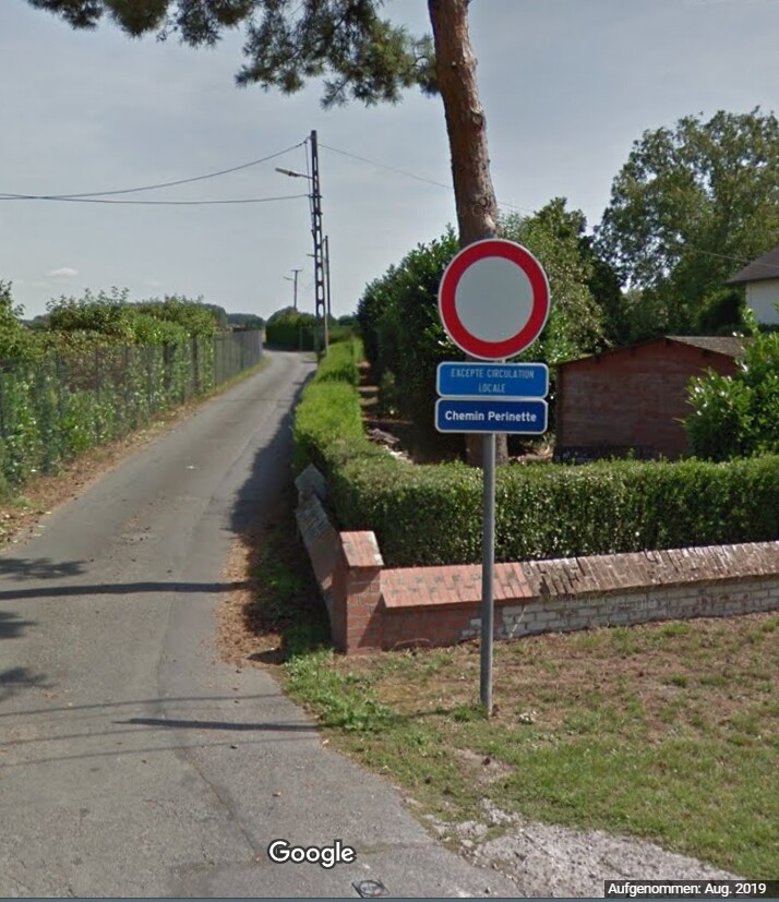
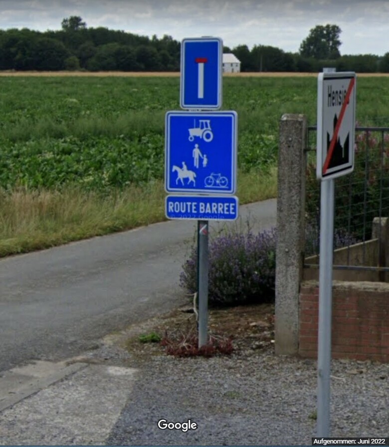
In Belgium between the municipalities of Quivrain and Hensies the path of Perinette is prohibited for the circulation of any motorized vehicle
great you are very reactive … you
Hello,
this is not a Kurviger problem but wrong data in the OSM maps.
Everyone can participate in the OSM project and report errors or even edit them directly.
The following link might be interesting for you:
1 Like
@Philippe_C : As @Hobbyfahrer already mentioned, Wolfgang changed the OSM data of that path:
As you can see in the history, he added the tag “motorvehicle = no”.
Everyone can do such things - with a little practice that is even faster than writing a report here in the forum ![]()
And in Kurviger there are usually options at most items (or map): Long tap or mouseclick right / “Show on OpenStreetMap”. So you can go to the right OSM object very fast.
Usually it takes 1-2 days, then the change of OSM is considered also in Kurviger routing.
1 Like