[EN] I think I have found an issue with the route calculated by Kurviger
[EN] I read the corresponding [documentation]
[EN] Here is a url to a short example (<10km) that shows the issue:
[EN] Description of the issue and how it should work instead:
The route should go directly as it does when routed on OSM: OpenStreetMap
What else can I look at to make sure this routing is allowed in Kurviger?
Thank you! I didn’t know I can check the time. I’ll wait and see if it updates.
However, the only change I made was add the specific tags (foot, motor vehicle, etc.); the “Allow Access: All” was already set to yes, that’s why I posted.
I will wait a few days and hopefully it’ll change.
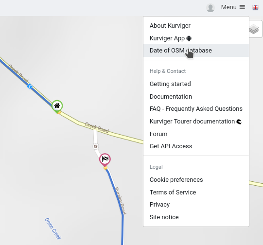
Thanks! I didn’t know that existed, but I think it’s only for “Tourer” level sub. I have the “Pro” and don’t see that option anywhere in the interface.
No, it wasn’t.
The display in OSM-editor is a bit misleading here.
If nothing is set, it shows “yes”, which is true for public roads as “yes” is the default here.
But not for barriers like gates. There access must be explicitly set, otherwise Kurviger won’t route.
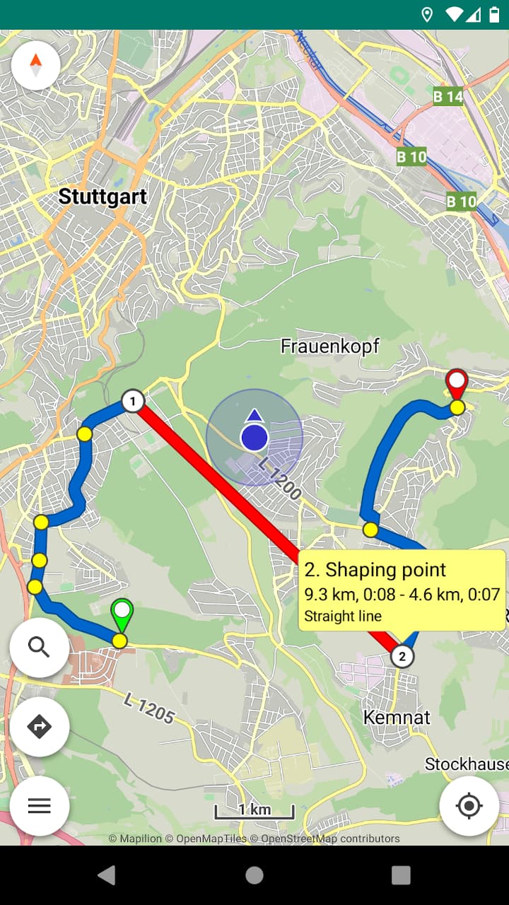
I have the Kurviger Pro android app version that was purchased with a one-time payment, but without the subscription. And since I don’t see a “beeline” option when building routes, I am guessing that option requires a sub.
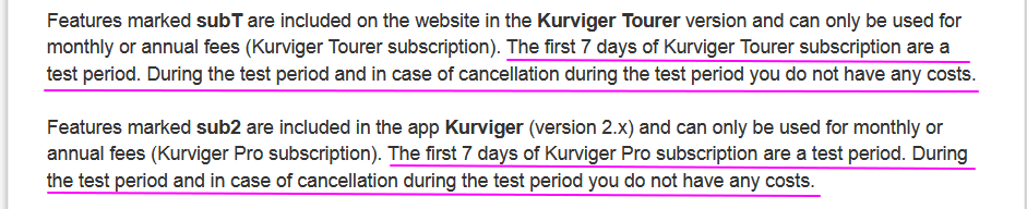
Kurviger Pro 1.x and Kurviger 2.x (pro with subscription) can coexist on the same device without interference.
Subscription is free for the first week.