I’m riding an electric motorcycle (Zero SR/F). Instead of fuel stations I need charging points. Is it possible to integrate those?
Chargemap gives - in my oppinion - the best information and most possibilities for filtering:
I know, I’m sort of an exotic example. However - It will go fast with new electric motorcycles in the future …
Please allow me to revive the topic.
I’m still eager to get charging points into kurviger.de .
I just signed for the Tourer abo, as I plan to use kurviger.de despite my Garmin zümo XT and BaseCamp.
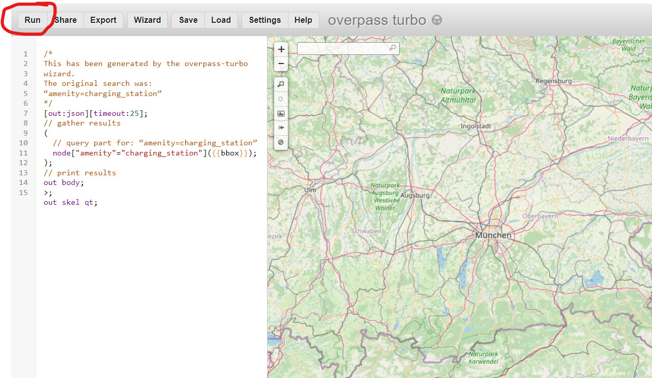
A really good open source for charging points I found meanwhile is
From there it is possible to download charging points in form of *.gpx-Files. Look for 'Stromtankstellen POI.
You can filter for what you need exactly.
I was able to integrate it into my XT for POIs on the way (entlang der Route). This is fine if I’m on the bike but does not help much if I’m planning a big tour.
I’d very much appreciate it if kurviger.de could give this information. For electric motorcycle this information is even more important than fuel stations for ice-bikes.
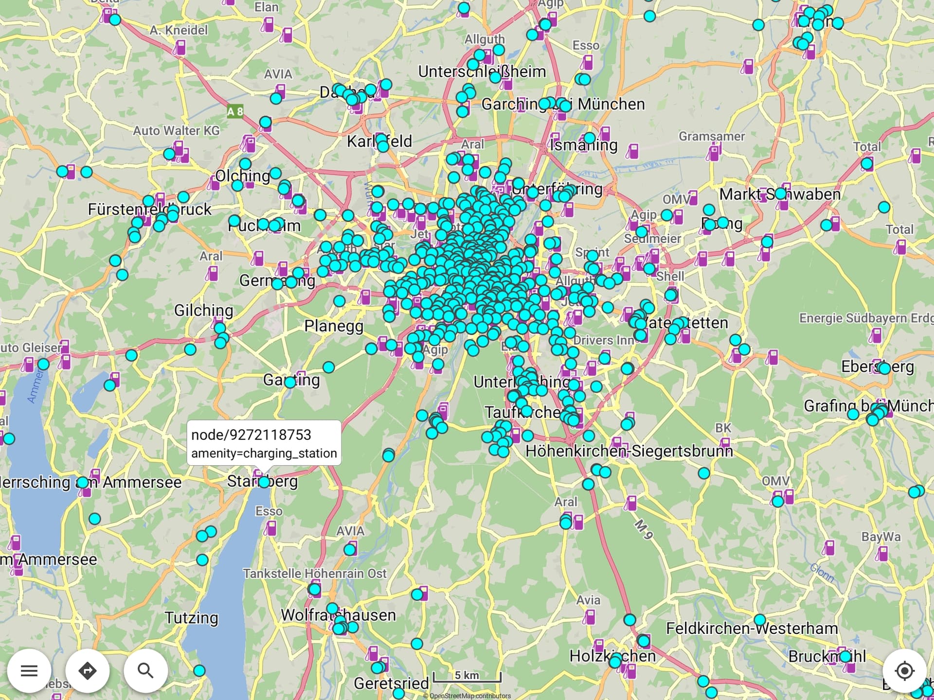
Thanks for the tip. I have tried after you gave the tip. It worked for Switzerland although it slowed the website down. As there were too many charging points it was not usable in Germany, not speaking of whole Europe.
Meanwhile I found a way to implement the charging points into BaseCamp but I have to update the transfer from time to time as charging points are growing fast.
At the moment I do a first rough planning in Kurviger Tourer, then I change to BaseCamp.
As I prefer to plan in Kurviger Tourer my wish regarding the charging points upholds.
The big issue with sources from other websites is usually that their license does not allow their data to be used. So if the source is not OSM, it can be complicated to include them as this would require some sort of licensing agreement.
You request is not forgotten - maybe we can find a way to integrate this in the future
I’m no technitian or software ingenieur.
However, I guess this is the website which may help you answer some questions regarding usage and licencing: " API zum Stromtankstellenverzeichnis"
I’m aware that this will not be integrated in the near future. But I wanted it to be kept ‘warm’.
Thanks for the tipp.
However: As far as I understand this works as ‘gpx-Overlay’.
As you can see in my post 'Sep ‘21’ I tried that already - the source of the data there being ‘goingelectric’.
Problem: Too much data slowed the website heavily to a degree it was not usable anymore.