Before: Kurviger’s default behavior was, that if the access could not be determined, we rather block a road than allow the access.
Now: Since we can visualize road closures, we could accept roads where the access is not guaranteed. This would reduce a lot of the friction that regularly happens (like barriers with undefined access rules, ferries, etc.).
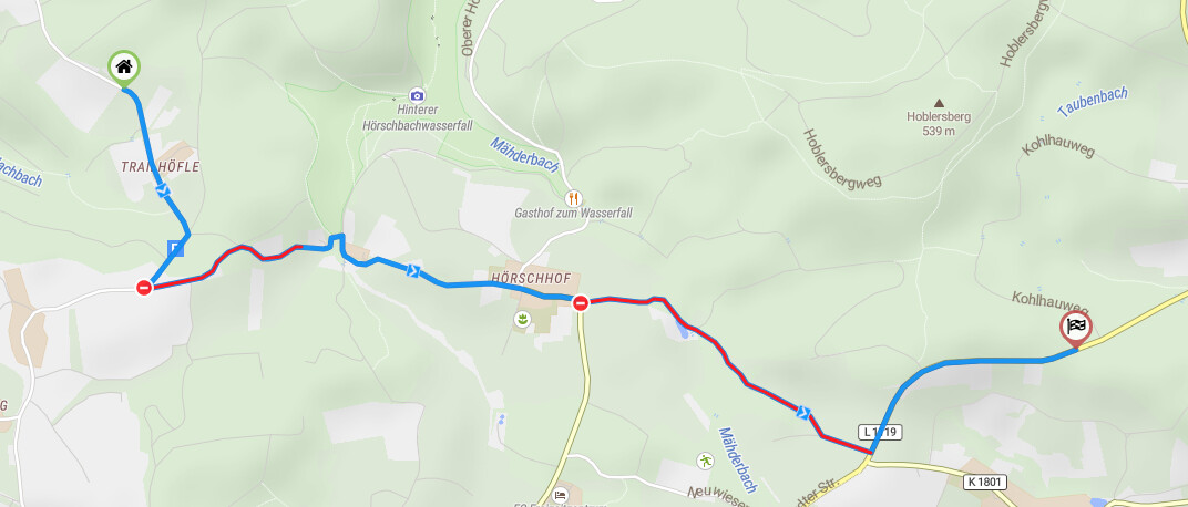
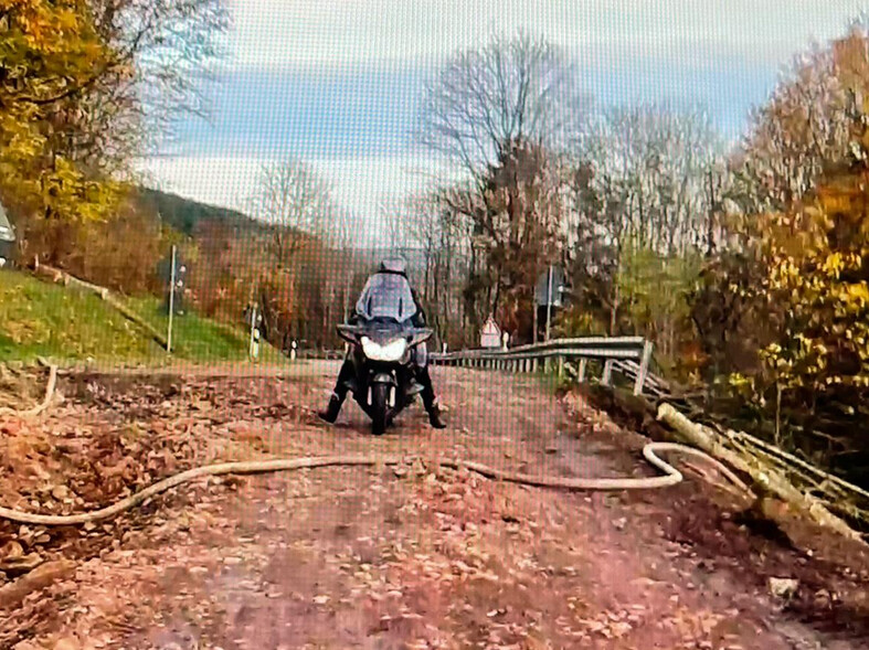
Es geht mir nicht darum zu überprüfen ob die Daten korrekt sind oder nicht, sondern um eine generelle Verbesserung in Kurviger. Denn ich gehe davon aus, dass der Sturmschaden in 7 Monaten behoben ist. Ich möchte aber jetzt schon meine Route ohne 120 km Umweg berechnen. Es ist ja ok, diese Stelle als rot im Sinne von “derzeit nicht passierbar” zu kennzeichnen, aber ich finde eine generelle Option sinnvoll, dies zu ignorieren, so dass Kurviger trotzdem dort durchroutet, so dass ich eine geplante Route im Vorfeld habe. Wenn dann die Tour ansteht, schaue ich eh nochmal drüber, was es an aktuellen Voll-Sperrungen gibt. Vielleicht könnte man auch mit einer anderen Farbe arbeiten als rot im Sinne von “aktuell nicht passierbar”, so dass man den Abschnitt auf den ersten Blick erkennt und nochmal gezielt nachschauen kann vor Reiseantritt.
Mydrive macht das z.B. so, indem man das Startdatum für die Tour in die Zukunft verschiebt, damit wird dann die Route trotz temporärer Sperrungen passierbar. Calimoto ignoriert die Sperrung sowieso, obwohl die auch openstreetmaps benutzen. Beides kommt meinen Bedürfnissen als Motorradfahrer mehr entgegen. Ich empfinde diese Zwangsumleitung als störend. Besser wäre, wie gesagt, zwar darauf aufmerksam machen (z.B. durch die Farbe gelb in der Route statt rot), aber trotzdem das Passieren dieses Streckenabschnitts erlauben. Das kann man programmieren, wie gesagt, bei Calimoto und Tomtom funktioniert das ja auch. Wenn man das zusätzlich als konfigurierbare Routenoption anbietet, macht das noch mehr Sinn. Dann kann jeder nämlich die Option nutzen oder auch nicht, je nach persönlicher Vorliebe.
Vielen Dank für Darüber-Nachdenken vorab und noch mehr, wenn das benutzerfreundlich umgesetzt würde.
Wenn die Stelle als zeitweise Sperrung eingetragen wäre, dann würden wir das Routing an der Stelle erlauben. So machen wir das bei Wintersperren, Wochenendsperrungen und Baustellen, die als zeitweise Sperrung eingetragen sind.
Was wir nicht machen ist eine Route über eine Straße zu erlauben die als grundsätzlich gesperrt oder kaputt eingetragen ist.
Jetzt ist die Frage natürlich, sollten wir das erlauben oder nicht?
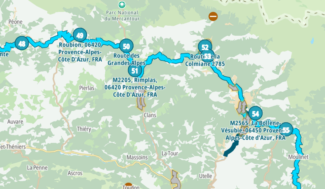
Und wie würde es aussehen, wenn gerade Sommer wäre und die auf der Route de Grand Alp unterwegs wärst und in die Stadt einfährst, du dann feststellst, dass du nicht weiter kommst und dann umdrehen musst und dann mehr als 120km Umweg hast und dein Tagesziel nicht oder erst mitten in der Nacht erreichst?
Sollten wir dann immer noch eine Route über diese Straße berechnen oder nicht?
Das ist eine allgemeine Frage, nicht nur an @Tom sondern an alle. Man kann über so etwas immer diskutieren, insbesondere da wir mittlerweile potentielle Sperrungen anzeigen können.
Als Routen option mit Checkbox zum Anhaken finde ich, JA. Dem User die Kontrolle darüber geben ist das Stichwort. Ich möchte vor Ort entscheiden, ob ich das Risiko eingehe oder nicht. Wie gesagt, in 99,5% aller Fälle kommt man mit dem Töff immer irgendwo durch, sogar mit einem nicht offroad tauglichen Einspurgerät.
Aus meiner Sicht schon. Das ist dann meine Entscheidung. Wie gesagt fände ich es toll, wenn ich die Wahl hätte (als zusätzliche Routenoption). Die App müsste das natürlich dann auch unterstützen.
Ein Biker hat oben ja schon direkt zugestimmt und findet die “ignore detour” Option auch sinnvoll. Ich würde sie allerdings positiv formulieren als “accept street blocking” oder so ähnlich.
Als Option/Button “Sperrungen ignorieren”, ähnlich “Fähre vermeiden”, wäre das sicher sinnvoll. Zusätzlich könnte man ja denn Button in Rot statt Grau markieren, damit er explizit auffällt.
As an option/button “Ignore blockages”, similar to “Avoid ferry”, this would certainly make sense. Additionally, you could mark the button in red instead of grey, so that it is explicitly conspicuous.
So what could maybe could be done, is to allow more roads and highlight them on the route if they are chosen. This would change the routing for everyone.
is it possible like in the old motoplaner to make direct connection between 2 points.
I have such a problems on routing https://kurv.gr/SAkty between point 6 and 7 and on https://kurv.gr/G3yYv
between 13 and 14.
I missed that discussion, but the result of showing temporary road blocks in red, but route through nonetheless was good, but it doesn’t consequently ignores all other blockings if this is desired. Obviously more users than I would benefit from such an option.
Sure everone could use this option if he/she wants. If this is an additional routing option checkbox, unticked by default, this would influence nobody who doesn’t want to use this option. Everyone else could benefit from it.
At the moment the only way for me is to use other planning tools and even use other routing tools even if I don’t want to do this.
Das sollte am besten ein eigenes Thema werden… Punkt 6 - 7 ist leisureslipway eingetragen und bei 13 - 14 barriergate. Hast Du Informationen zu den Punkten? Edit, zur Fähre habe ich folgendes gefunden: http://skyeferry.co.uk/. “Wir bedauern, dass die Fähre während der Saison 2020 nicht verkehren wird. Die Sicherheit der Öffentlichkeit und der Besatzung steht im Mittelpunkt der Entscheidung, und wir hoffen, dass Sie dies verstehen. Wir kommen nächstes Jahr wieder und freuen uns, Sie alle dann zu sehen.”
This would be best if it became a topic in its own right… Point 6 - 7 is leisureslipway and at 13 - 14 barriergate. Do you have information about the points? Edit, I have found the following to the ferry: http://skyeferry.co.uk/. “We regret that the ferry will not operate during the 2020 season.
Public and crew safety is as the heart of the decision and we hope you will understand this.
We will be back next year and look forward to seeing you all then.”
This is exactly what I mean… with an option “accept street blocking” or similar description the route could be calculated without a detour. If there is really no passing thru in real life (0,4% of all cases), I still can return and take another route, but my planning would work like in the other mentioned tools.
Schwieriges Thema, ich kann Dich als auch @boldtrn verstehen. In dem genannten Beispiel mit der Fähre sieht es nämlich so aus, das diese dieses Jahr nicht mehr fährt bzw. um die Existenz kämpft. Wenn man jetzt die Route mit Fähre berechnet und diese nicht fährt, ist der Umweg mehrere Kilometer. Die Frage ist dann, auf wenn schimpft man dann?
Difficult subject, I can understand you as well as @boldtrn. In the mentioned example with the ferry, it looks like this year it will not run anymore or is struggling for existence. If you now calculate the route by ferry and do not take it, the diversion is several kilometres. The question is then, on what do you scold then?
if this blocking is visually (different color for example yellow as mentioned before) highlighted and info is displayed for blocking reason, I still can use internet inquiry to find out more details and then decide myself or can untick the checkbox for new proposed routing option “ignore blockings” in order to calculate a detour. Otherwise I would want to nevertheless calculate the route as if the blocking would not exist (when the new option is ticked). With this new option, unchecked by default, I could not blame anyone else than myself if I go there and the ferry has closed or the street has disappeared without any alternative (I would even use single trails as alternative ).
the problem with the ferry I have since last year… acc to my knowledge the ferry was working these year. For me the actual situation is okay if its blocked in kurviger, than i have to investigate what is on these point and than I would decide move forward or use another routing. So if I could go on the waypoint 7 and tell him please make a direct line from point 6, that would help on my planning.
Hast Du dir den Link angeschaut http://skyeferry.co.uk/? Auf der Homepage ist Twitter eingebunden, am Jun 29, 2020 wurde geschrieben das die Fähre dieses Jahr geschlossen ist. Im Mai und Juni wird um Spenden für den Erhalt der Fähre gebeten. Ich werde die Daten der Fähre bei OSM eintragen, aber ob Sie noch tatsächlich fährt, kann ich nicht garantieren
Have you looked at the link http://skyeferry.co.uk/? Twitter is included on the homepage, on Jun 29, 2020 it was written that the ferry is closed this year. In May and June donations are requested for the maintenance of the ferry. I will enter the data of the ferry into OSM, but I cannot guarantee that it will still run.
Es geht mir jedoch nicht um die Fähre oder eine andere konkrete Sperrung. Ich hätte gern bei angeschalter Option “Sperrungen ignornieren” die Route von Kurviger berechnet, die ich in einem halben Jahr fahren möchte und zwar ohne Zwangsumleitungen.
Wenn ich dann in einem halben Jahr die Tour fahre und nochmal drauf schaue, dann ist es schön, wenn Kurviger die eventuell problematischen Abschnitte farblich hervorhebt, damit ich mir diese genauer anschauen kann. Wenn ich dann einen Umweg berechnet haben möchte, dann schalte ich die Option “Sperrungen ignorieren” aus.
However, I am not interested in the ferry or any other concrete blockage. With an active new option “ignore blockage” I would like to have calculated the route by Kurviger, which I want to drive in half a year, without forced detours. When I drive the tour in half a year and look at it again, then it is nice if Kurviger highlights the possibly problematic sections in a different color so that I can take a closer look at them. If I want to have a detour calculated then, I switch off the option “Ignore closures”.
Im Moment muss ich deswegen Tools benutzen, die das genau so können. Ich würde aber gern ausschließlich Kurviger für vorausschauende Routenplanung verwenden.
So at the moment I have to use tools that can do this. But I would like to use only Kurviger for advanced route planning.
I don’t think this should be offered as an option.
What could be done, is to instead of blocking roads with undefined access, that are likely accessible or only temporarily inaccessible. This requires that the roads are tagged accordingly. We should not allow access to roads that are tagged with access=no or access=private or anything along these lines.
The problem with actual date parsing is that in many cases the data is not uniform enough to provide proper parsing for most cases.
Can you generate multiple route (segments) in .kurviger format but still “hook” them together and transport in just one SINGLE file?
Thus still quite a complete routing, but anyway in parts, with pieces of “emptiness” in between, problem on the spot to be solved for and by the more “adventurous” user.
See the example above with both gpx track segments in which the visual piece of “that ferry traject” is simply missing.
Therefore also users should notice important information included in the poi waypoint, ignoring sure could mean a return.