Hello all users
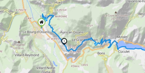
I am doing routing like this from bourg d’Oisans to col du lautaret.
But I do not get the shortest road.
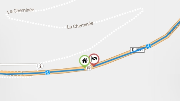
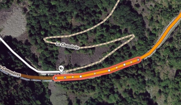
Unfortunately, there is a winter closed road On D1091 closed to the lake.
The road IS not anymore closed in july.
Does anybody can update OSM data and remove this closed point?
Thanks in avance
Bab.
1 Like
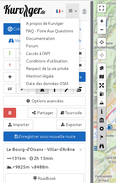
Looks like OSM user “Bab the only” has recently updated OSM-data. 
So let’s wait until Kurviger updates it’s routing data.
That may take 2 weeks.
You can see the date of used OSM-data in the top left menu
1 Like
Thanks all for your answers.
Yes, I ve tried to update OSM by myself but as newbie, maybe did it wrong.
The alternative road is very nice but dangerous as 800m fall on one side with only 20cm stone wall. 
Thanks again.
Bab