I edited OSM 9 days ago correcting barrier=gate to barrier=cattle_grid in several places. Kurviger was not routing through the gates because access wasn’t specified. I didn’t specify access for the cattle grids either, assuming that Kurviger should know that a cattle grid does not preclude access.
Today I find that Kurviger still will not route through these barriers.
Q1. Will Kurviger route through a cattle grid with unspecified access?
Q2. When does Kurviger update it’s OSM set?
It’s not working at the moment, but it’s only been 11 days since I made the changes.
The grids are on the Plenty Hwy at
-22.289553,137.997916 (on the NT Qld border)
-22.274979,137.971265 (at the entry to Tobermorey Stn, a fuel stop off the Plenty Hwy)
-22.284445,137.972134
-22.266083,137.797195 (I had missed this one - corrected just now)
-22.956734,136.149305
Not sure what style I mean.
If you look at OSM (https://www.openstreetmap.org/query?lat=-22.28962&lon=137.99794#map=18/-22.29051/137.99816) expanded to 100m scale or finer, you will see a three bar icon where the access restriction is. Kurviger doesn’t show this. In order to find the restriction you have to set start and end points and gradually narrow them to isolate the offending feature. It would be a little easier to locate if Kurviger showed the feature.
Every time I’ve looked at that map selection OSM has been selected so i assumed that that was the default. When I did it just then, it was selected. Then I expanded the map to 100m and had another look. ESRI streets was selected. So I clicked it back, and sure enough, the cattle grid appeared.
Thanks for that @devemux86
It appears that no matter how old I get, I still find things to learn.
So @boldtrn, it was you who made it happen.
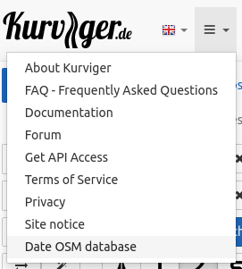
I wonder if it is possible to add the last OSM update date to the webpage somewhere so that anyone who makes a correction will know if the new data is being used? That would then confirm that the correction was done properly without the need to bother anyone on the forum. (I’m an engineer, I like feedback )
That’s great. Now when anyone makes a map change, and takes note of the date they did it, it is easy to confirm that the change is correct from Kurviger’s point of view.
(I do love feedback )