[EN] I think I have found an issue with the route calculated by Kurviger
[DE] Ich glaube ich habe einen Fehler bei der Routenberechnung von Kurviger gefunden
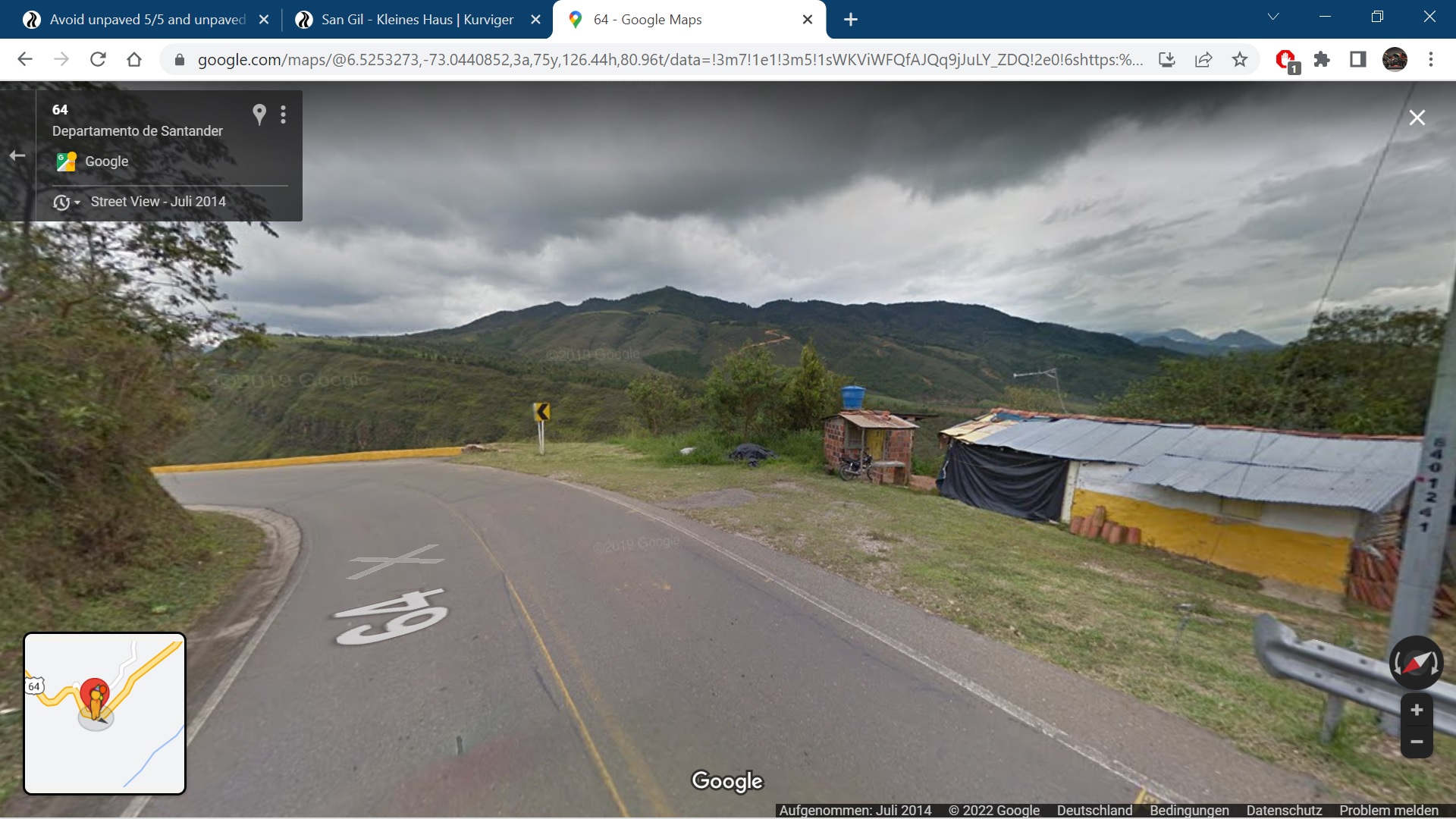
I made a route in Colombia with the option ‘avoid unpaved roads’5/5, but Kurviger takes an unpaved road although it is unpaved on the Kurviger map (a white colour road’ and when I click on the mountain icon right below and don’t see a brown (unpaved) part in the route.
I read the documentation (see below), but I’m confused, because it is unpaved on the map. Is there something I can do about this or do I just have to check the whole route to be sure there are no unpaved roads?
I don’t understand the second alinea of the documentation (see below): "This could be fixed by adding the surface attribute to the road. Often you would set surface=unpaved or surface=gravel. For a detailed list of surface values, have a look at the [OSM ".
That is probably something you can do in OSM?
Thanks a lot for a reaction!
Greetings, Loes
In documentation:
"We read surface information from OSM, with some exceptions, we assume that roads are paved, unless otherwise marked. This means, if you avoided unpaved roads, but yet have been routed over an unpaved road, this road is probably not marked as unpaved.
This could be fixed by adding the surface attribute to the road. Often you would set surface=unpaved or surface=gravel. For a detailed list of surface values, have a look at the OSM Wiki."
[EN] I read the corresponding documentation
[DE] Ich habe die entsprechende Documentation dazu gelesen
[EN] Here is a url to a short example (<10km) that shows the issue:
[DE] Hier ist ein Link zu einer kurzen Route (<10km) die das Problem zeigt:
[INSERT URL/LINK EINFÜGEN]
[EN] Description of the issue and how it should work instead:
[DE] Beschreibung des Problems und wie es anstatt dessen funktionieren sollte:
[INSERT DESCRIPTION/BESCHREIBUNG EINFÜGEN]