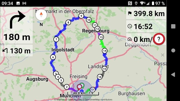
Today I had a 400-km-ride (my easteregg tour):
I often saw the questionmark instead of a speed limit. And even more often a total wrong speed limit. My feeling: approximately half of the OSM contents regarding speed limit is not correct!
Hopefully we don’t have to expect a lot of complains …
3 Likes
All of these warnings can be useful.
Many users = many options.
But the important thing is to allow the user to control options - on / off
I prefer a alarm tone for the sound alert.
Same here.
Me I preferred a screen alert: Won’t be frequently disturbed by a tone, as expected because of the many wrong data about speed limits in the maps.
OpenStreetMap Wiki mentions:
“The maximum fixed numeric speed limit, followed by the appropriate unit if not measured in km/h when no units should be included. For example maxspeed=60 for 60 km/h and maxspeed=50 mph for 50 mph (note the space between the value and the unit).”
For example in London there are ways where maxspeed has a text “20 mph”.
Kurviger (GraphHopper) conveniently returns maxspeed as number 30 (km/h).
So it should be fine to interpret everywhere the maxspeed as number km/h?
(and convert to mph, if app uses imperial units)
1 Like
Hallo,
ich habe mir gestern die Beta 2.0.7 runtergeladen um das Tempolimit zu testen. Sollte das funktionieren, ist die App für mich fast perfekt. Nur habe ich keine Anzeige der Geschwindigkeit gesehen. Ich bin online/offline gefahren, habe mit der Toleranz des Tempolimits gespielt (von -10 bis 20km/h) aber nichts ist passiert/wurde mir angezeigt. Hat das schon jemand zum laufen gebracht?
Gruß
Axel
- The speed limit display (with screen alert) is available in “Settings | Navigation | Speed limit”.
The speed limit display is the 4th right panel. The speed limit screen alert is the red circle.
-
The speed limit tolerance can be adjusted in “Settings | Navigation | Speed limit tolerance”.
-
The speed limit voice alert is available in “Settings | Voice guidance | Speed limit”.
(BRouter does not currently provide speed limits)
Kurviger speed limits are derived from OpenStreetMap data (where available).
Please provide some route example, so we can see if it contains speed limits.

Ok, great. The only thing left is the distance to the next or 2 next gas stations. And then everything is how it should be 
Speed limit tolerance is great. I would propose 2 limits, one for inner-city and one for outside town.
There is no city separation in route data and navigation.
1 Like
OK thanks for information, no problem. The speed tolerance maximum at the moment is 20. Is it possible to make it up to 40?
I think the warning to exceed the speed of the road is for this: you know that you are going above and I do not think that you need to activate the message when you go to +40 km/h above.
In my config I set it to 5 km, enough to avoid a possible radar. ![]()
3 Likes
Yes I do, that’s exactly what I ask for. Otherwise I wouldn’t have asked. I prefer a warning only when I am far too fast, not when I am a bit too fast. Same was possible in Navigon and Navigon Cruiser .
Sorry but this is BS. A warning at 40 above because then you lose you driving licence or? I think there are more important improvements to be realised, like distance to the next 2 gas stations on the route. My thought.
Just a technical question: Is the information “within built-up areas” (German: “innerhalb geschlossener Ortschaften” : Geschlossene Ortschaft – Wikipedia ) available in OSM?
And an additional hint: On many roads the allowed max. speed is not available in OSM, and sometimes the given allowed max. speed is wrong / out of date - so do not rely on it too much!
2 Likes
not available, devemux confirmed already
To increase the slider up to 40 instead up to 20 doesn’t mean that everybody sets it to the maximum as for any other slider too.
To my point of view it’s a better bandwidth.
Ooops - sorry, I overread that (I wrote my answer in “App: Navigation UI design” first and moved it here afterwards).
@boldtrn can answer better.
It may be available on routing server which knows the road network.
But client only receives a route response with specific (limited) data.
Ah - does this also mean that max. speed display + alert only works on a planned route, but not if the rider is off route or uses follow mode?
The speed limit and street name are provided by the calculated route.
So they can only work when navigating on route.
Or else would need to constantly ask (online) a provider for that data.
(that could happen the old days when GraphHopper (offline) worked)
2 Likes